
Ambedkar Nagar District is a district in Faizabad division, Uttar Pradesh, India. This district was created on 29 September 1995 and was named in memory of Bhimrao Ambedkar, who worked for the advancement of the deprived classes, women and other weaker sections of society.
Ramnagar may refer to the following places:

Jalalpur is a town, tehsil and a municipal board in Ambedkar Nagar district in the Indian state of Uttar Pradesh, India.
Akbarpur is a city, tehsil and the administrative headquarters of Ambedkar Nagar district in the state of Uttar Pradesh, India. It is a part of Faizabad division.
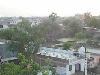
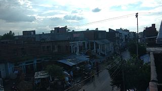
Tanda is a town, tehsil and a municipal board in the Ambedkar Nagar district of the state of Uttar Pradesh in India. Tanda is 20 km away from district headquarters Akbarpur city.
Ramnagar is both a town and a notified area committee in Udhampur District in the Indian union territory of Jammu and Kashmir.

Hanswar is a village in the Ambedkar Nagar district of Uttar Pradesh, India, located east of Tanda. Demographically, Hanswar resembles the rest of the Purvanchal area in which it is located. It is primarily an agricultural area.
Ambedkar Nagar Lok Sabha constituency is one of the 80 Lok Sabha (parliamentary) constituencies in the Indian state of Uttar Pradesh. This constituency came into existence in 2008 as a part of the implementation of delimitation of parliamentary constituencies based on the recommendations of the Delimitation Commission of India constituted in 2002.
Katehri, also spelled as Katehari, is a town in Ambedkar Nagar district in the Indian state of Uttar Pradesh. Katehri is also a block in Ambedkar Nagar district, Uttar Pradesh.
Goshainganj, also known as Gosainganj, is a town and nagar panchayat in the Faizabad district of the Indian state of Uttar Pradesh. Located 34 km from the district headquarters Ayodhya, Goshainganj has one of the oldest markets of the district.
Rajesultanpur or Raje Sultanpur is a town and nagar panchayat in Ambedkar Nagar district in the Indian state of Uttar Pradesh.
National Highway 233A is a National Highway in India that links Rajesultanpur,Ambedkar Nagar in Uttar Pradesh to Ayodhya in Uttar Pradesh.up
Choti Saryu or Tamasa River is a river in India that starts in Ambedkar Nagar, Faizabad division, Uttar Pradesh, and passes through Mau and joins another river in Phephna. The joint stream joins the Ganga at Anjorpur. It is a perennial river – in the dry season only sluggish black water remains, but in the rainy season it can cause floods such as the one in 2005.

Hirapur is a village in Ambedkar Nagar district, Uttar Pradesh, India. Hirapur is situated 9 kilometres (5.6 mi) east of Tanda Busstand. Hirapur is also known as the Yadav Chowraha.
Kanaila is a village near Atraulia in Azamgarh District of Uttar Pradesh state in India. It is located 44 km towards North from Azamgarh and is 242 km away from state capital Lucknow. Kanaila is part of Burhanpur Tehsil of Azamgarh District.
Bachuwapar is a Kasba/Town in Ambedkar Nagar district in the Indian state of Uttar Pradesh and is Subpost Office of Rajesultanpur.

Sekhauliya is the name of a village in Uttar Pradesh, in the Ambedkar Nagar district. It is situated 2 km away from sub-district headquarter Alapur and 40 km away from district headquarter Ambedkar Nagar. As per 2009 stats, Madhuwana is the gram panchayat of Sekhauliya village. Another name of this village is Tapsi Nagar The same name is also written along with the polling station and school The total geographical area of village is 48.14 hectares. Sekhauliya has a total population of 355 peoples. There are about 53 houses in Sekhauliya village.
Jahangirganj is a market and village in Ambedkar Nagar in the Indian state of Uttar Pradesh and is Subpost Office. It is found 45 km towards East from District headquarters Akbarpur, Ambedkar Nagar and 242 km from State capital Lucknow.
Balrampur is a town in Ambedkar Nagar district in the Indian state of Uttar Pradesh and is Subpost Office of Rajesultanpur.
Musepur is a village in Alapur tehsil of Ambedkar Nagar district, Uttar Pradesh state, India. It belongs to Faizabad Division. It is located 30 km east of the district headquarters, Akbarpur, Ambedkar Nagar, and 216 km from the state capital, Lucknow. Musepur Kalan's pin code is 224143, and its postal head office is Hanswar.