
The River Irt is a river in the county of Cumbria in northern England. It flows for 14 miles (22 km) from the south-western end of Wast Water, the deepest lake in England, leaving the lake at the foot of Whin Rigg, the southern peak of the famous Wastwater Screes. The name of the river is believed to derive either from the Old English gyr which means "mud", or from the Brittonic words *ar, "flowing", or *īr, "fresh, clean, pure", suffixed with -ed, a nominal suffix meaning "having the quality of...".
The River Bleng is a tributary of the River Irt in the county of Cumbria in northern England.

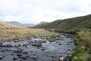
The River Mite is a river in the county of Cumbria in northern England.

Glenderaterra Beck is a watercourse in the county of Cumbria, England. The length of the Glenderaterra, and its major tributary Whit Beck is 4.8 miles (7.8 km), which have a total catchment area of 11.8 square kilometres (4.6 sq mi).
St. John's Beck is a river in the Lake District of Cumbria, England.

The River Wampool is a river flowing through north western Cumbria in England. It is in the Waver and Wampool catchment which includes the towns of Silloth and Wigton.

The River Waver is a river in Cumbria, England. The river rises at Wavergillhead . It is fed by the northwards flowing Thornthwaite Beck and Pow Gill either side of Bolton Wood Lane. The "Little Waver", rising at Catlands Hill, joins at Waterside near Woodrow. The river then takes a northward course via Waverton and Waverbridge, both of which are named for the river, before turning sharply westward at Abbeytown. The river then goes north, running into Moricambe Bay, an inlet of the Solway Firth.
Leck Beck is a watercourse in Lancashire with its source on Crag Hill in Cumbria between Leck Fell and Casterton Fell.

Barbon Beck is a small river in Cumbria. It is a tributary of the River Lune.
Birk Beck is a minor river in Cumbria.
The River Lune is a river in County Durham, England.

Newlands Beck is a minor river of Cumbria in England.
Keskadale Beck is a minor river of Cumbria, England.

Scope Beck is a minor river in the county of Cumbria in England.

Stonethwaite Beck is a minor river in Cumbria, England. It is a tributary of the River Derwent.

Naddle Beck is a minor river of Cumbria, England.
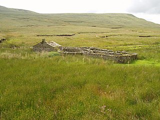
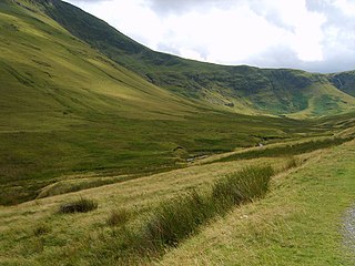
Birkdale is a dale in the Yorkshire Dales National Park, in North Yorkshire, England. It lies at the far western end of Swaledale, close to the border with Cumbria. The dale is one of the smallest of the Yorkshire Dales. The hamlet of Birkdale is in the lower part of the dale, 2 miles (3.2 km) west of Keld. The area forms part of the civil parish of Muker.

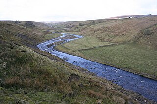
The River Annas is a minor river in Cumbria in northwest England. It is formed as the Kinmont Beck and Crookley Beck which drain the southwestern fells of the Lake District, meet on the eastern edge of the village of Bootle. Their combined waters flow southwest towards Annaside on the Irish Sea coast. However longshore drift has diverted the river northwestwards parallel to the shore for a further 1.2 miles (2 km) so that it enters the sea at Selker. This section of river is followed by the Cumbria Coastal Way. The river is bridged by the A595 road and the Cumbrian coast railway line.

The Wasdale Horseshoe is a group of hills on the eastern fringe of the English Lake District, to the west of the A6, south of Shap, Cumbria. They surround the valley of Wasdale Beck, a tributary of Birk Beck and ultimately of the River Lune. The horseshoe is the subject of a chapter of Wainwright's book The Outlying Fells of Lakeland. This Wasdale should not be confused with the better known Wasdale, containing Wast Water, on the west of the Lake District.

Mosedale Beck is a river in Cumbria, England, which rises on the northern slopes of Great Dodd and flows north east, to the south of Clough Head before joining the River Glenderamackin to the east of Threlkeld village. This then flows west, alongside the A66 road south of Blencathra, to form the River Greta which flows into the River Derwent.
