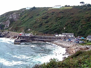
Lamorna is a village, valley and cove in west Cornwall, England, UK. It is on the Penwith peninsula approximately 4 miles (6 km) south of Penzance. Lamorna became popular with the artists of the Newlyn School, including Alfred Munnings, Laura Knight and Harold Knight, and is also known for former residents Derek and Jean Tangye who farmed land and wrote "The Minack Chronicles".

Marazion is a civil parish and town, on the shore of Mount's Bay in Cornwall, England, United Kingdom. It is 2 miles (3.2 km) east of Penzance and the tidal island of St Michael's Mount is half-a-mile offshore. At low water a causeway links it to the town and at high water passenger boats carry visitors between Marazion and St Michael's Mount. Marazion is a tourist resort with an active community of artists who produce and sell paintings and pottery in the town's art galleries.

Penzance is a town, civil parish and port in the Penwith district of Cornwall, England, United Kingdom. It is the most westerly major town in Cornwall and is about 64 miles (103 km) west-southwest of Plymouth and 255 miles (410 km) west-southwest of London. Situated in the shelter of Mount's Bay, the town faces south-east onto the English Channel, is bordered to the west by the fishing port of Newlyn, to the north by the civil parish of Madron and to the east by the civil parish of Ludgvan. The civil parish includes the town of Newlyn and the villages of Mousehole, Paul, Gulval, and Heamoor. Granted various royal charters from 1512 onwards and incorporated on 9 May 1614, it has a population of 21,200.

The culture of Cornwall forms part of the culture of the United Kingdom, but has distinct customs, traditions and peculiarities. Cornwall has many strong local traditions. After many years of decline, Cornish culture has undergone a strong revival, and many groups exist to promote Cornwall's culture and language today.
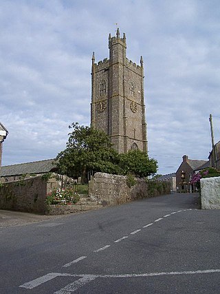
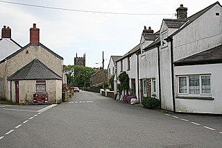
Paul is a village in Cornwall, England, United Kingdom. It is in the civil parish of Penzance. The village is two miles (3 km) south of Penzance and one mile (1.6 km) south of Newlyn.

Ludgvan is a civil parish and village in Cornwall, England, UK, 2+1⁄2 miles (4 km) northeast of Penzance. Ludgvan village is split between Churchtown, on the hill, and Lower Quarter to the east, adjoining Crowlas. For the purposes of local government, Ludgvan elects a parish council every four years; the town elects a member to Cornwall Council under the Ludgvan division.
Delabole is a large village and civil parish in north Cornwall, England, United Kingdom, which lies approximately two miles (3 km) west of Camelford.

St Agnes is a civil parish and a large village on the north coast of Cornwall, England, United Kingdom. The village is about five miles (8 km) north of Redruth and ten miles (16 km) southwest of Newquay. An electoral ward exists stretching as far south as Blackwater. The population at the 2011 census was 7,565.

Perranarworthal is a civil parish and village in Cornwall, England, United Kingdom. The village is about four miles (6.5 km) northwest of Falmouth and five miles (8 km) southwest of Truro. The parish population at the 2011 census was 1,496.
St Newlyn East is a civil parish and village in Cornwall, England, United Kingdom. The village is approximately three miles (5 km) south of Newquay. The name St Newlyn East is locally abbreviated to Newlyn East and according to an anonymous historian writing in The Cornishman in 1880 it was only in recent years that Saint had been added to the parish name.

Perranzabuloe is a coastal civil parish and a hamlet in Cornwall, England, United Kingdom. Perranzabuloe parish is bordered to the west by the Atlantic coast and St Agnes parish, to the north by Cubert parish, to the east by St Newlyn East and St Allen parishes and to the south by Kenwyn parish. The hamlet is situated just over a mile (2 km) south of the principal settlement of the parish, Perranporth; the hamlet is also seven miles (11 km) south-southwest of Newquay. Other settlements in the parish include Perrancoombe, Goonhavern, Mount and Callestick. The parish population was 5,382 in the 2001 census, increasing to 5,486 at the 2011 census.

Wendron is a village and civil parish in Cornwall, England, United Kingdom. It is approximately 3 miles (5 km) to the north of Helston and 6 miles (10 km) to the west of Penryn. The parish population at the 2011 census was 2,743. The electoral ward of Wendron had a 2011 population of 4,936.
Cornish dance originates from Cornwall, UK. It has largely been shaped by the Cornish people and the industries they worked in. In most cases, particularly with the step dancing, the dances were still being performed across the region when they were collected.
Gunnislake is a large village in east Cornwall, England, United Kingdom. It is situated in the Tamar Valley approximately ten miles (16 km) north of Plymouth The first woman cabinet minister in the British Empire, Mary Ellen Smith, was born here in 1863.

Gurnard's Head is a prominent headland on the north coast of the Penwith peninsula in Cornwall, England. The name is supposed to reflect that the rocky peninsula resembles the head of the gurnard fish.

Tregonning Hill is the westerly of two granite hills overlooking Mount's Bay in west Cornwall, England, United Kingdom, the other being Godolphin Hill. They are approximately 6 kilometres (3.7 mi) west of the town of Helston. The Plymouth chemist William Cookworthy mixed china stone with kaolin, mined from the hill to make Plymouth porcelain in 1768; which was the first time hard-paste porcelain was made in Britain. Part of the hill is designated as a Site of Special Scientific Interest (SSSI) and at the date of notification (1994) was the only known site of western rustwort in Great Britain.
Penzance RFC formed in 1876, was a rugby union club based in Penzance, Cornwall, England. They amalgamated with Newlyn RFC in 1944 to form Penzance and Newlyn RFC, currently known as the Cornish Pirates.

Botallack is a village in west Cornwall, England, United Kingdom. It lies along the B3306 road which connects St Ives in the east to the A30 road, near Land's End. The village is included in the St Just in Penwith division on Cornwall Council. The original 1970s BBC television series Poldark was filmed partly in Botallack, using Manor Farm as Nampara. The Manor House, part of the Tregothnan estate, is a Grade II* listed building, dating from the 17th century.
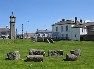
A plen-an-gwarry or plain-an-gwary, is a "playing-place" or round, a medieval amphitheatre found in Cornwall. A circular outdoor space used for plays, sports, and public events, the plen-an-gwary was a Cornish variant of a construction style found across Great Britain. Formerly common across Cornwall, only two survive nearly complete today: the Plain in St Just in Penwith and Saint Piran's Round near Perranporth.

Perran Round is an amphitheatre in the hamlet of Rose, midway between the villages of Goonhavern and Perranporth, Cornwall, UK. It is described as the best surviving example of a plen-an-gwary, a medieval amphitheatre used for performing the Ordinalia, or Cornish miracle plays, and Cornish wrestling tournaments.

