Related Research Articles

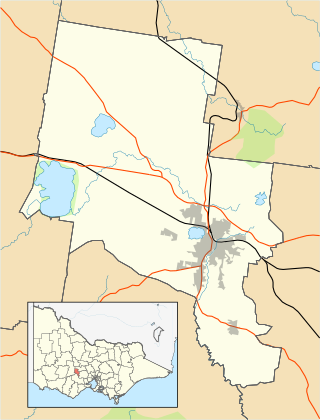
The City of Ballarat is a local government area in the west of the state of Victoria, Australia. It covers an area of 739 square kilometres (285 sq mi) and, in June 2023, had a population of 118,137. It is primarily urban with the vast majority of its population living in the Greater Ballarat urban area, while other significant settlements within the LGA include Buninyong, Waubra, Learmonth and Addington. It was formed on 6 May 1994 from the amalgamation of the City of Ballarat, Shire of Ballarat, Borough of Sebastopol and parts of the Shire of Bungaree, Shire of Buninyong, Shire of Grenville and Shire of Ripon.

The Golden Plains Shire is a local government area in Victoria, Australia, located in the central-western part of the state. It covers an area of 2,703 square kilometres (1,044 sq mi) and in June 2018, had a population of 23,120. It includes the towns of Bannockburn, Inverleigh, Lethbridge, Linton, Rokewood, Smythesdale, Teesdale and Meredith.

Deer Park is a suburb in Melbourne, Victoria, Australia, 17 km (11 mi) west of the Melbourne central business district, located within the City of Brimbank local government area. Deer Park recorded a population of 18,145 at the 2021 census.

Sovereign Hill is an open-air museum in Golden Point, a suburb of Ballarat, Victoria, Australia. Sovereign Hill depicts Ballarat's first ten years after the discovery of gold there in 1851 and has become a nationally acclaimed tourist attraction. It is one of Victoria's most popular attractions and Ballarat's most famous.

Avoca is a town in the Central Highlands of Victoria, Australia, 71 kilometres (44 mi) north west of Ballarat. It is one of two main towns in the Pyrenees Shire, the other being Beaufort to the south.

Coen is a rural town and coastal locality in the Shire of Cook, Queensland, Australia. The town of Coen is inland on the Peninsula Developmental Road, the main road on the Cape York Peninsula in far northern Queensland. The community is quite busy, particularly in the dry season, with all tourists and visitors travelling the Peninsula Development Road up to the tip of Cape York having to pass through the town.

Moliagul is a locality in the Shire of Central Goldfields and Shire of Loddon, Victoria, Australia, located 202 kilometres (126 mi) northwest of Melbourne and 60 kilometres (37 mi) west of Bendigo. The area is notable for the discovery of a number of gold nuggets. These finds include the world's largest, the Welcome Stranger, which was discovered in 1869 by John Deason and Richard Oates. At the 2021 census, Moliagul had a population of 80.

Cracow is a rural town and locality in the Shire of Banana, Queensland, Australia. Historically, Cracow is a gold mining town, with some recent mines opening. In the 2021 census, the locality of Cracow had a population of 114 people.

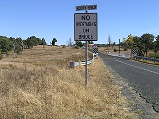
Rocky River is a locality in northern New South Wales, Australia,near Uralla on the Northern Tablelands plateau.

Smythesdale is a town in Victoria, Australia. The town is located on the Glenelg Highway. Most of the town is located in the Golden Plains Shire local government area. Smythesdale is 19 kilometres (12 mi) west of Ballarat and 135 kilometres (84 mi) west of the state capital, Melbourne. At the 2021 census, Smythesdale and the surrounding area had a population of 1,189. Smythesdale Primary School is a part of the Woady Yaloak PS with Ross Creek, Scarsdale, and Snake Valley as the other campus.

Sebastopol is a southern suburb on the rural-urban fringe of Ballarat, Victoria, Australia. It is the third most populated area in urban Ballarat with a population of 10,194 at the 2021 census.

Ravenswood is a rural town and locality in the Charters Towers Region, Queensland, Australia. In the 2021 census, the locality of Ravenswood had a population of 297 people.

The Ballarat–Skipton Rail Trail in western Victoria, Australia, runs 53 kilometres along the old Skipton railway line from western Ballarat, southwest through Haddon, Smythesdale and Pittong to Skipton. The trail was in poor condition for many years before being upgraded and resurfaced in 2008, at a cost of $700,000, funded in roughly equal measure by local, state and federal government. The new surface is "compacted granitic sand". The total length of the trail is 53km including an 8km section from Ballarat railway station to the trailhead.

Clonbinane is a locality in the Australian state of Victoria. It is located 55 kilometres (34 mi) north of the state capital city, Melbourne. Geographically, it lies east of the Hume Freeway but now lacks a distinctive township precinct. According to Crown Land records of 1856, the pastoral region was part of the Western Port District. At the 2021 census, Clonbinane had a population of 347.

Raglan is a town in western Victoria, Australia. It is located 177 kilometres (110 mi) north west of the state capital, Melbourne in the Shire of Pyrenees local government area. At the 2021 census, Raglan had a population of 223.

Snake Valley is a town in central Western Victoria, Australia, on Linton-Carngham Road, 27 kilometres (17 mi) west of Ballarat and 153 kilometres (95 mi) west of Melbourne, in the Shire of Pyrenees. A post office was opened on 1 March 1859. At the 2016 Census, Snake Valley had a population of 743, up from 329 in 2006.
Thomas Ulick Burke (1826–1867) was a well-known figure in gold-rush Victoria, Australia, famous as the victim of the "Break O' Day" aka "Scarsdale" aka "Piggoreet" murder.

Ravensbourne is a rural locality in the Toowoomba Region, Queensland, Australia. In the 2021 census, Ravensbourne had a population of 307 people.

Canoona is a rural locality in the Livingstone Shire, Queensland, Australia. It was the site of the first North Australian gold rush. In the 2021 census, Canoona had a population of 90 people.
References
37°38′05″S143°45′16″E / 37.63472°S 143.75444°E
