Mundo Maya International Airport, formerly Flores International Airport as indicated by its 3-letter code, is an international airport located in the suburb of Santa Elena, in the city of Flores, Guatemala. It serves national and international air traffic for the areas of Flores, Santa Elena, and San Benito, as well as all the Maya sites like Tikal or Yaxhá and destinations like Guatemala City and Belize.
San José Airport serves the city of Puerto San José, the resort town of Monterrico, the port of Puerto Quetzal and the eastern Guatemalan Pacific coast. It is operated and administrated by DGAC - Dirección General de Aeronáutica Civil de Guatemala. San José Airport is in the western part of the city of Puerto San José, near the Pacific coast.
Cobán Airport is an airport serving Cobán, the capital of the Alta Verapaz Department of Guatemala.
Retalhuleu Airport, also known as Base Aérea del Sur, is an airport serving Retalhuleu, the capital of Retalhuleu Department in Guatemala.
Coatepeque Airport is an airport serving Coatepeque, a city in the Quetzaltenango Department of Guatemala. The airport is in a wooded area on the southwest side of town.
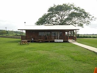
Quiché Airport is an airport serving Santa Cruz del Quiché, the capital of Quiché Department, Guatemala. The airport is just south of the city.
Uaxactun Airport is an airstrip in the village of Uaxactun, Guatemala.
Zacapa Airport is an airport serving the city of Zacapa, the capital municipality of Zacapa Department in Guatemala. The airport is on the southwest side of the city, alongside the Río Grande de Zacapa.
Las Vegas Airport is an airport 4 kilometres (2.5 mi) east of Río Dulce, a village in Izabal Department, Guatemala.
Poptún Airport is an airport serving the town of Poptún in Guatemala.
Playa Grande Airport is an airstrip serving the town of Playa Grande in the Quiché Department of Guatemala.
Malacatán Airport is an airport serving the town of Malacatán in the San Marcos Department of Guatemala.
La Libertad Airport is an airport serving the town of La Libertad in Petén Department, Guatemala. It is 4 kilometres (2.5 mi) southwest of the town.
Huehuetenango Airport is an airport serving the city of Huehuetenango, the capital of Huehuetenango Department, Guatemala.
Esquipulas Airport is an airstrip serving the city of Esquipulas in Chiquimula Department, Guatemala.
El Naranjo Airport is a rural airstrip near El Naranjo, a settlement in the diffuse agricultural community between Masagua, Obero, and Torremolinos in Escuintla Department, Guatemala.
Carmelita Airport is an airstrip serving Carmelita, a small community in the Maya Biosphere Reserve of Guatemala. A section of the runway also serves as a street in the village.
Bananera Airport is an airport serving the city of Morales in Izabal Department, Guatemala.
Dos Lagunas Airport is an airstrip near the Biotopo Protegido Naachtun station and archeological site in Peten Department, Guatemala. Dos Lagunas is part of the Maya Biosphere Reserve.
San Ignacio Town Airstrip is a public use airport serving San Ignacio, a town in the Cayo District of Belize. The airport is 6 kilometres (4 mi) southwest of San Ignacio and 5 kilometres (3.1 mi) east of the border with Guatemala.

