| Rubyiro River | |
|---|---|
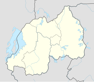
| Country | Rwanda |
| Physical characteristics | |
| River mouth | 2°43′52″S29°01′59″E / 2.731042°S 29.032976°E Coordinates: 2°43′52″S29°01′59″E / 2.731042°S 29.032976°E |
| Basin features | |
| River system | Rusizi River |
| Tributaries |
|
The Rubyiro River is a river in southwestern Rwanda that is a left-hand tributary of the Ruzizi River. It joins the Ruzizi, which forms the boundary between Rwanda and the Democratic Republic of the Congo, about 2 kilometres (1.2 mi) above the point where the Ruhwa River, which forms the boundary between Rwanda and Burundi, enters the Ruzizi. [1]

Rwanda, officially the Republic of Rwanda, is a country in Central and East Africa and one of the smallest countries on the African mainland. Located a few degrees south of the Equator, Rwanda is bordered by Uganda, Tanzania, Burundi and the Democratic Republic of the Congo. Rwanda is in the African Great Lakes region and is highly elevated; its geography is dominated by mountains in the west and savanna to the east, with numerous lakes throughout the country. The climate is temperate to subtropical, with two rainy seasons and two dry seasons each year.

The Ruzizi is a river, 117 kilometres (73 mi) long, that flows from Lake Kivu to Lake Tanganyika in Central Africa, descending from about 1,500 metres (4,900 ft) to about 770 metres (2,530 ft) above sea level over its length. The steepest gradients occur over the first 40 kilometres (25 mi), where hydroelectric dams have been built. Further downstream, the Ruzizi Plain, the floor of the Western Rift Valley, has only gentle hills, and the river flows into Lake Tanganyika through a delta, with one or two small channels splitting off from the main channel.

The Democratic Republic of the Congo, also known as DR Congo, the DRC, DROC, Congo-Kinshasa, or simply the Congo, is a country located in Central Africa. It is sometimes anachronistically referred to by its former name of Zaire, which was its official name between 1971 and 1997. It is, by area, the largest country in Sub-Saharan Africa, the second-largest in all of Africa, and the 11th-largest in the world. With a population of over 78 million, the Democratic Republic of the Congo is the most populated officially Francophone country, the fourth-most-populated country in Africa, and the 16th-most-populated country in the world.