Sadaung ဆားတောင် | |
|---|---|
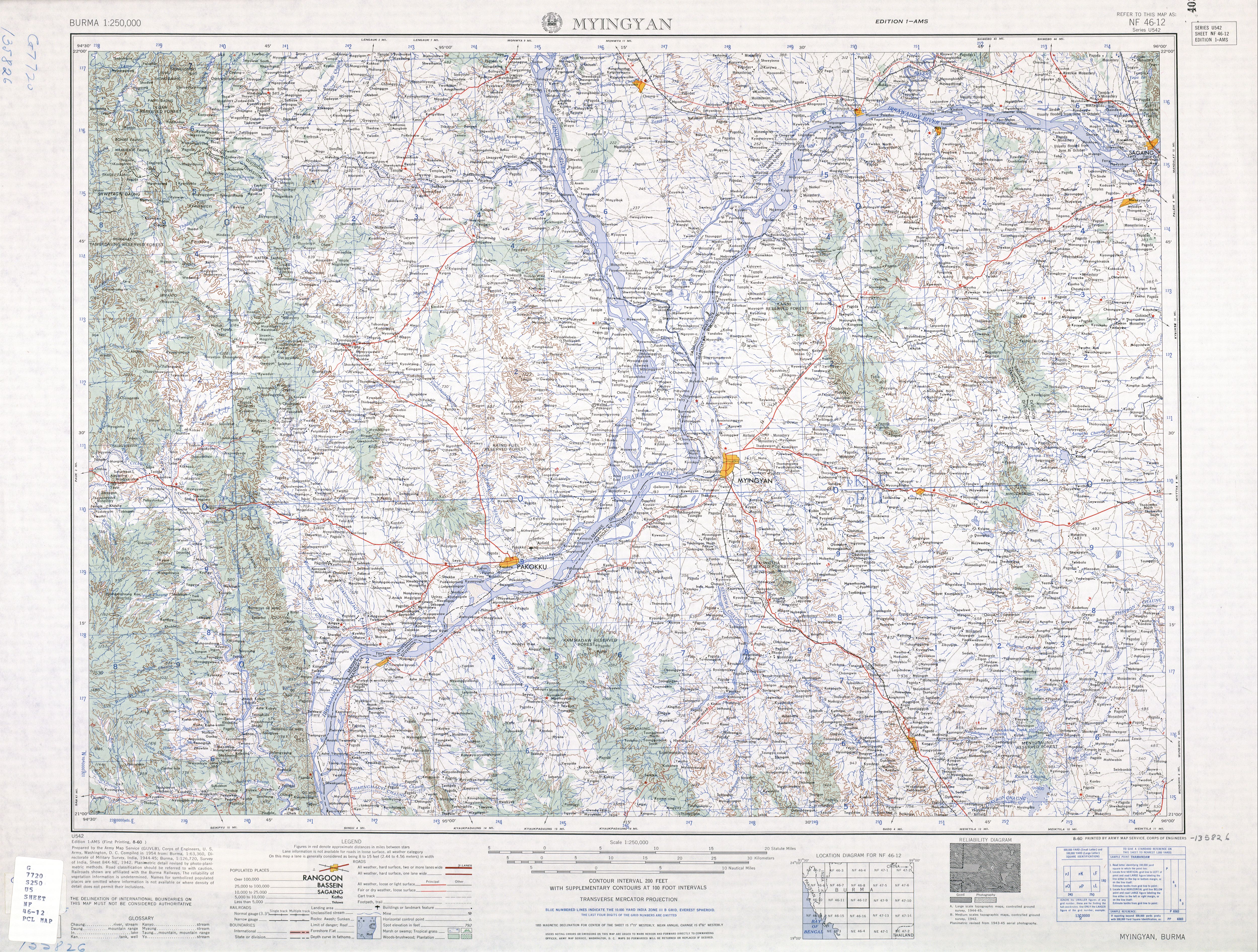
Town | |
 Sadaung Location in Burma. | |
| Coordinates: 21°17′42″N95°47′10″E / 21.29500°N 95.78611°E | |
| Country | |
| Region | Mandalay Region |
| District | Myingyan |
| Township | Natogyi |
| Elevation | 166 m (545 ft) |
| Time zone | UTC+6.30 (MST) |
Sadaung is a small town in eastern Myingyan District in the center of the Mandalay Region in Burma (Mandalay). It is located just south of Route 2, south-west of Pyinzi and eastsouth-east of Natogyi. [1]

