| Saint-Eugène-d'Argentenay | |
|---|---|
| Municipality | |
 | |
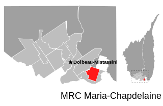
 Saint-Eugène-d'Argentenay Location in Saguenay–Lac-Saint-Jean Quebec. | |
| Coordinates: 48°59′N72°17′W / 48.983°N 72.283°W Coordinates: 48°59′N72°17′W / 48.983°N 72.283°W [1] | |
| Country | |
| Province | |
| Region | Saguenay–Lac-Saint-Jean |
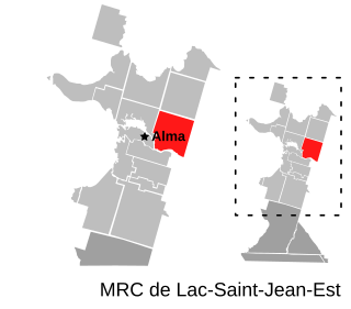
| RCM | Maria-Chapdelaine |
| Settled | 1895 |
| Constituted | November 14, 1923 |
| Government [2] | |
| • Mayor | Françoise Boudreault |
| • Federal riding | Roberval—Lac-Saint-Jean |
| • Prov. riding | Roberval |
| Area [2] [3] | |
| • Total | 86.40 km2 (33.36 sq mi) |
| • Land | 86.69 km2 (33.47 sq mi) |
| There is an apparent contradiction between two authoritative sources | |
| Population (2011) [3] | |
| • Total | 546 |
| • Density | 6.3/km2 (16/sq mi) |
| • Pop (2006–11) | |
| • Dwellings | 222 |
| Time zone | EST (UTC−5) |
| • Summer (DST) | EDT (UTC−4) |
| Postal code(s) | G0W 1B0 |
| Area code(s) | 418 and 581 |
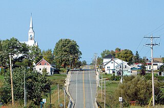
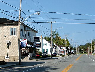
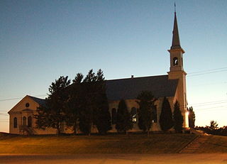
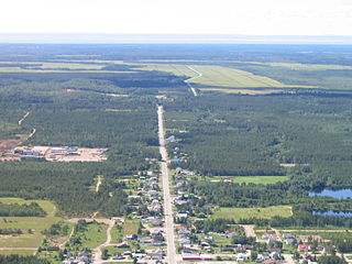
Saint-Eugène-d'Argentenay is a municipality in the Canadian province of Quebec, located within the regional county municipality of Maria-Chapdelaine. The municipality had a population of 546 as of the Canada 2011 Census. Prior to 1997 it was known simply as Saint-Eugène.

The provinces and territories of Canada are the sub-national governments within the geographical areas of Canada under the authority of the Canadian Constitution. In the 1867 Canadian Confederation, three provinces of British North America—New Brunswick, Nova Scotia, and the Province of Canada —were united to form a federated colony, becoming a sovereign nation in the next century. Over its history, Canada's international borders have changed several times, and the country has grown from the original four provinces to the current ten provinces and three territories. Together, the provinces and territories make up the world's second-largest country by area.

Quebec is one of the thirteen provinces and territories of Canada. It is bordered to the west by the province of Ontario and the bodies of water James Bay and Hudson Bay; to the north by Hudson Strait and Ungava Bay; to the east by the Gulf of Saint Lawrence and the province of Newfoundland and Labrador; and to the south by the province of New Brunswick and the U.S. states of Maine, New Hampshire, Vermont, and New York. It also shares maritime borders with Nunavut, Prince Edward Island, and Nova Scotia. Quebec is Canada's largest province by area and its second-largest administrative division; only the territory of Nunavut is larger. It is historically and politically considered to be part of Central Canada.
The term regional county municipality or RCM is used in Quebec to refer to one of 87 county-like political entities. In some older English translations they were called county regional municipality.