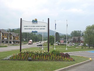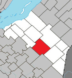
Mirabel is an off-island suburb of Montreal, located in southern Quebec.

Arthabaska Regional County Municipality is a regional county municipality located in the Centre-du-Québec region of Quebec. Its seat is Victoriaville.

Deux-Montagnes is a regional county municipality in the Laurentides region of Quebec, Canada. It is located immediately north of Laval on the north shore of the Rivière des Mille-Îles and on the north shore of the Lake of Two Mountains. Its seat and largest city is Saint-Eustache.

La Tuque is a city located in north-central Quebec, Canada, on the Saint-Maurice River, between Trois-Rivières and Chambord. The population was 11,227 at the Canada 2011 Census, most of which live within the urban area. At over 28,000 square kilometres, it is the largest city in Canada.

L'Assomption is an off-island suburb of Montreal, in southwestern Quebec, Canada on the L'Assomption River. It is the seat of the Regional County Municipality of L'Assomption. It is located on the outer fringes of the Montreal urban area.

Piedmont is a small municipality within the Les Pays-d'en-Haut Regional County Municipality, Quebec, Canada, in the Laurentian Mountains of the administrative region of Laurentides. It is located along the North River and Autoroute 15 and Route 117, north of Montreal.

Stoneham-et-Tewkesbury is a united township municipality in the Canadian province of Quebec, located in the regional county municipality of La Jacques-Cartier north of Quebec City. Its main attraction is the Stoneham Mountain Resort.

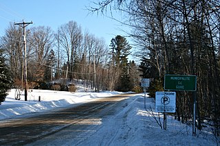
Gore is a township municipality in the Canadian province of Quebec, located within the Argenteuil Regional County Municipality. Its main community is Lakefield.
The Daaquam River is a river primarily flowing in the administrative region of Chaudière-Appalaches, at South of Quebec in Canada and northern Maine, in United States. The river runs from its source, south of Sainte-Justine, northeast across the Canada–United States border to the Northwest Branch of the Saint John River in Maine.
The Shields Branch is a tributary of the Big Black River), flowing in:
The Southwest Branch Saint John River is a 62.0-mile-long (99.8 km) river in Maine and Quebec. The branch originates in "Little Saint John Lake" on the international boundary between Saint-Zacharie, Quebec and Seboomook Lake Township 5, Range 20, WELS. The branch forms the Canada–United States border as it flows northeasterly to a confluence with the Little Southwest Branch Saint John River in Seboomook Lake Township 9, Range 18, WELS. The Southwest Branch flows briefly into Quebec and then through Maine to its confluence with the Baker Branch Saint John River in Seboomook Lake Township 9, Range 17, WELS. The Southwest Branch finally joins with the Northwest Branch to form the Saint John River.

Saint-Paul is a municipality in the Lanaudière region of Quebec, Canada, part of the Joliette Regional County Municipality.

Saint-Gabriel is a town in the Lanaudière region of Quebec, Canada, part of the D'Autray Regional County Municipality. It is located on the shores of Lake Maskinongé, in the shadows of the Laurentian Mountains.

Les Éboulements is a municipality in the Capitale-Nationale region of Quebec, Canada.
The Lejeune Township is located in the MRC Mekinac Regional County Municipality, in Mauricie, Quebec, Canada.
The River Pocwock is a tributary of the Saint John River, flowing in:
The Brown River is a tributary of the Depot River, flowing in:
The West Branch Pocwock Stream is a tributary of the Pocwock River flowing in:
The Fraser River crosses the municipality of Saint-Paul-de-Montminy, in the Montmagny Regional County Municipality, in the administrative region of Chaudière-Appalaches, in Quebec, in Canada.
The Blanche River flows in the administrative region of Chaudière-Appalaches, in the province of Quebec, in Canada, in the regional county municipality of:


