
Minas is the capital of the Lavalleja Department in Uruguay. As of the census of 2011, it is the twelfth-most populated city in the country.
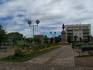
Salto is the capital city of the Salto Department in northwestern Uruguay. As of the 2011 census it had a population of 104,028 and is the third most populated city in Uruguay, after Montevideo and Ciudad de la Costa.
Termas del Arapey is a resort village in the Salto Department of northwestern Uruguay.

Paso de los Toros is a city of the Tacuarembó Department in Uruguay.
Pintadito is a southern suburb of the capital city Artigas of Artigas Department in northern Uruguay.
Biassini is a village in the Salto Department of northwestern Uruguay.
Sarandí del Arapey is a village or populated centre in the eastern part of the Salto Department of northwestern Uruguay.

Estación Atlántida is a northern suburb of the city Atlántida in the Canelones Department of southern Uruguay.
Estanque de Pando is a northern suburb of Pando in the Canelones Department of southern Uruguay.
Jardines de Pando is a suburb of the city of Pando in the Canelones Department of southern Uruguay.
Santa Rosa is a small city in the Canelones Department of southern Uruguay.
Seis Hermanos is a hamlet (caserío) in the Canelones Department of southern Uruguay.
Constitución is a small town in the Salto Department of northwestern Uruguay.

Pueblo Lavalleja or Colonia Lavalleja is a village or populated centre in the sparsely populated north part of the Salto Department of northwestern Uruguay. The two populated centres it comprises are called Migliaro and Lluveras.
Rincón de Valentín is a hamlet (caserío ) in the Salto Department of northwestern Uruguay.
Barrio López Benítez is a small western suburb of the city of Melo in the Cerro Largo Department of eastern Uruguay.
Rafael Perazza is a village in the San José Department of southern Uruguay.
Raigón is a populated centre and suburb of San José de Mayo, capital city of San José Department in southern Uruguay.
Termas del Daymán is a resort and populated centre in the Salto Department of northwestern Uruguay.
Albisu is a hamlet (caserío) in the Salto Department of northwestern Uruguay.


