Salta is a province of Argentina, located in the northwest of the country. Neighboring provinces are from the east clockwise Formosa, Chaco, Santiago del Estero, Tucumán and Catamarca. It also surrounds Jujuy. To the north it borders Bolivia and Paraguay and to the west lies Chile.

Emberá-Wounaan is a comarca indígena in eastern Panama. It was created by Law Number 22 on November 8, 1983, out of the former Chepigana and Pinogana districts of the Darién Province. Its capital is Unión Chocó, and it is notable for being composed of two non-contiguous sections. 12,358 people lived here in 2023, with over 95% of them being indigenous peoples.
Southernmost settlements are cities, towns, weather stations or permanent military bases which are farther south than latitude 45°S. They are closely related to the Southern Ocean or either the Roaring Forties or Furious Fifties. Antarctic bases are excluded due to not having a permanent population.

This is a list of the 50 largest cities in the Americas by population residing within city limits as of 2015, the most recent year for which official population census results, estimates, or short-term projections are available for most of these cities. These figures do not reflect the population of the urban agglomeration or metropolitan area which typically do not coincide with the administrative boundaries of the city. For a list of the latter, see List of metropolitan areas in the Americas by population. These figures refer to mid-2015 populations with the following exceptions:
- Mexican cities, whose figures derive from the 2015 Intercensal Survey conducted by INEGI with a reference date of 15 March 2015;
- Calgary, whose 2015 municipal census had a reference date of April 1.
- Brazilian cities, whose figures originate from the 2021 estimate given by the IBGE, with a reference date of July 1, 2021.

Cambita Garabitos is a municipality (municipio) of the San Cristóbal province in the Dominican Republic.
Sabana Grande de Palenque is a municipality (municipio) of the San Cristóbal province in the Dominican Republic.

Costa Rica is administratively divided into seven provinces which are subdivided into 84 cantons, and these are further subdivided into districts. Cantons are the only administrative division in Costa Rica that possess local government in the form of municipalities. Each municipality has its own mayor and several representatives, all of them chosen via municipal elections every four years.
Piedra Blanca is a city in Monseñor Nouel province, Dominican Republic.
San Gregorio de Nigua is a municipality (municipio) of the San Cristóbal province in the Dominican Republic.
Los Cacaos is a municipality (municipio) of the San Cristóbal province in the Dominican Republic.

Ramon Santana is a municipality (municipio) of the San Pedro de Macorís province in the Dominican Republic.
Navarrete is a municipality in northwestern Dominican Republic, created in 1961. It lies approximately 25 kilometres (16 mi) from Santiago de los Caballeros, Dominican Republic's second largest city. The administrative centre is in the town of Villa Bisonó.
Villa Gonzalez is a municipality (municipio) of the Santiago province in the Dominican Republic. Within the municipality there are two municipal districts : El Limón and Palmar Arriba.

The demographics of Colombia consist of statistics regarding Colombians' health, economic status, religious affiliations, ethnicity, population density, and other aspects of the population. Colombia is the second-most populous country in South America after Brazil, and the third-most populous in Latin America, after Brazil and Mexico.

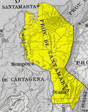
The Zipaquirá Province was an administrative division of the Republic of New Granada. It was created on 6 May 1852 when the Bogotá Province was subdivided. The province existed until 24 May 1855, when its territory was reintegrated into the Bogotá Province.