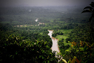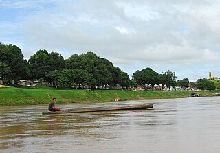
The Juruá River is a southern affluent river of the Amazon River west of the Purus River, sharing with this the bottom of the immense inland Amazon depression, and having all the characteristics of the Purus as regards curvature, sluggishness and general features of the low, half-flooded forest country it traverses.

The Purus River is a tributary of the Amazon River in South America. Its drainage basin is 371,042 km2 (143,260 sq mi), and the mean annual discharge is 11,207 m3/s (395,800 cu ft/s). The river shares its name with the Alto Purús National Park and the Purús Province, one of the four provinces of Peru in the Ucayali Region.

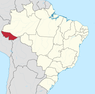
Acre is a state located in the west of the North Region of Brazil and the Amazonia Legal. Located in the westernmost part of the country, at a two-hour time difference from Brasília, Acre is bordered clockwise by the Brazilian states of Amazonas and Rondônia to the north and east, the Bolivian department of Pando to the southeast, and the Peruvian regions of Madre de Dios, Ucayali and Loreto to the south and west. The state, which has 0.42% of the Brazilian population, generates 0.2% of the Brazilian GDP.
Santa Rosa is the Italian, Portuguese and Spanish name for Saint Rose.

The Acre River is a 680 kilometres (420 mi) long river in central South America.

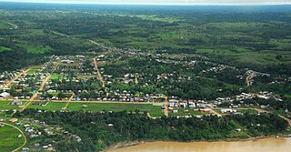
Feijó is a municipality located in the center of the Brazilian state of Acre. As of 2020, its population was 34,884. The total land area is 24,202 km².

Manoel Urbano is a municipality located in the center-western region of the Brazilian state of Acre. As of 2010 it was one of the poorest municipalities in Brazil, with a low Human Development Index.

Santa Rosa do Purus is a municipality in the Brazilian state of Acre.
Purus and Purús may refer to the following :
Rio Envira is a river in Acre state in Brazil. The Rio Jaminauá is one of its tributaries. It is a tributary of the Tarauacá River.

The Jutaí River is a river in Amazonas state in north-western Brazil.
The Kulina are an indigenous people of Brazil and Peru. 2,540 Kulina live in Amazonas and Acre in Brazil; while 400 live in southeastern Peru, along the Purus and Santa Rosa Rivers.
Nascentes do Lago Jari National Park is a national park in the state of Amazonas, Brazil. It protects an area of Amazon rainforest in the BR-319 highway area of influence.
The Jari River is a river in the state of Amazonas, Brazil, a tributary of the Purus River.

Mapinguari National Park is a national park in the states of Rondônia and Amazonas, Brazil. It covers a large area of Amazon rainforest. The boundaries have been adjusted several times.

The Chandless State Park is a state park in the state of Acre, Brazil. It protects an important but relatively unexplored region of rainforest with bamboos holding great biodiversity. It is valuable as an ecological corridor between adjoining conservation units and indigenous territories. Some parts of the park are used by uncontacted nomadic indigenous people.

The Santa Rosa do Purus National Forest is a national forest in the state of Acre, Brazil.
Piagaçu-Purus Sustainable Development Reserve is a sustainable development reserve in the state of Amazonas, Brazil.
The Pau-Rosa National Forest is a national forest in the state of Amazonas, Brazil.


