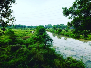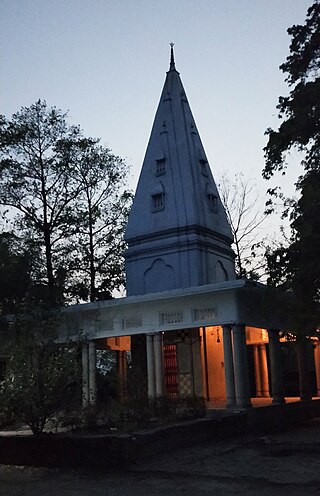
Bhadohi district is a district of Uttar Pradesh state in northern India. It is also referred to as Sant Ravidas Nagar. It is the smallest district by area in the state of Uttar Pradesh which was created on June 30, 1994 by dividing western part of the district Varanasi. It is surrounded by Varanasi district on east, Allahabad on west, Jaunpur north and Mirzapur district in south. The state capital Lucknow is distanced at 234 KM from Bhadohi. Its district headquarters is situated in the city of Gyanpur. The district is popularly known for carpet weaving as it is one of largest centres of Carpet Industries in India and therefore it also known as the 'Carpet City of India'. Carpets of Bhadohi have 'Geographical Indication' tag attached to it. Bhadohi has huge geographical significance and position attached to it due to its location between two culturally important and rich heritage cities of Prayagraj and Varanasi.

Ailum, is Nagar panchayat town in Shamli district in the Indian state of Uttar Pradesh, situated in the upper doab region of River Ganga and Yamuna. It is located at a distance of 75 km from National Capital New Delhi and a part of the National Capital Region (NCR) of India.
Gahmar is a village in India, located near the Ganges river in the Ghazipur district in the state of Uttar Pradesh. The village is 38 km from Ghazipur. The village has two post offices, and one Panchayat Bhawan. Gahmar is also known as the "Village of Soldiers".
The Great Sherpur is a region or a pargana of 'Shankarwar Vansh' in the Mohammadabad tehsil of Ghazipur district in Uttar Pradesh. It consists of Sherpur Kalan, Sherpur Khurd, Semra, Firozpur, villages which were established by the descendants of Dullah Rai. It has population of 31322 as per 2011 Census.
Reotipur is a village located in the Ghazipur district of Uttar Pradesh, India. With a population of 28833, it is the largest village in Seorai Tehsil of the Ghazipur district.
Param is a village in Rampur district in the Indian state of Uttar Pradesh. It is 3 km from Ram Ganga and 8 km from the Grand Truck Road.
Hathigahan is a village situated in Prayagraj, Uttar Pradesh, India. The village is about 17 km from the district headquarters on Prayagraj-Lucknow connectivity. Hathigahan comes under the Soraon tahsil and the Kaurihar block. Hathigahan has a population of about 50,000.
Suhwal is a village in the Kamsar region of Ghazipur district under Reotipur block. It is situated on Ghazipur to Buxar Road 8 km (5 mi) from Ghazipur City. Its population is 10,814. The Village is quite old. It has its own local administration under the Panchayati Raj system, with Gram Pradhan as head of local administration. There are two Government Secondary Schools, three Government Primary Schools and some privately run Schools. There is a small permanent Market in the western side of the Village and also a weekly Market. Suhwal is a center of Shopping and Primary Education for many other small villages situated on its fringe.

Bara is a village of Dildarnagar Kamsar in Ghazipur district in the Indian state of Uttar Pradesh. It is situated on the banks of the holy river Ganges.

Khardiha is a village in the Karail area of the Mohammadabad tehsil in Ghazipur district, Uttar Pradesh, India. It has population of 1896 as per 2011 Census. It has its own local administration under Panchayati Raj system, with Gram Pradhan as head of local administration. Since the very beginning this village has been an important center of education and cultural activities.
Shiv nagar, also known as Shivnagar, is a hamlet near Bibipur Jalalabad village on the outskirts of Jhinjhana town in Shamli district in Uttar Pradesh, India.
Joga Musahib is a village located in the Karail area of Mohammadabad tehsil in Ghazipur district in the Indian state of Uttar Pradesh. It had a population of 3,612 in the 2011 Census. Its local administration follows the Panchayati Raj system.
Kundesar is a village in Ghazipur district, Uttar Pradesh. It has a population of 4602 according to the 2011 Census. Having a history of five hundred years, this village has rich heritage of the Kinwar clan. Kundesar has had special mention in the gazettes of Ghazipur since 1781. Kundesar is situated on the Ghazipur–Patna National Highway 19.
Gondaur is a village located in ‘Karail Kshetra’ of Mohammadabad tehsil of Ghazipur district, Uttar Pradesh. It had 590 families and a population of 3712 in the 2011 census.
Rajapur is a village in Mohammadabad Tehsil in Ghazipur District of Uttar Pradesh State, India. It belongs to Varanasi Division. It is located 28 km towards east from District headquarters Ghazipur. Rajapur has total 835 families residing. The Rajapur village has population of 4872 of which 2487 are males while 2385 are females as per Population Census 2011.
Beerpur is a large village located in Mohammadabad tehsil in Ghazipur district of Uttar Pradesh. It is located on the bank of river Ganges. It has total 1348 families residing. The Beerpur village has population of 9377 as per Population Census 2011.
Amarupur is a village located in Mohammadabad tehsil of Ghazipur district, Uttar Pradesh. It has total 146 families residing. Amarupur has population of 1216 as per Population Census 2011. This village is one of the old establishments of Karail area of Mohammadabad tehsil of Ghazipur.
Dhanauli Rampur is a village located in Ghosi tehsil of Mau district, Uttar Pradesh. It has total 530 families residing. Dhanauli Rampur has population of 3,452 as per government records.
Asawar is a village located in Mohammadabad tehsil of Ghazipur district, Uttar Pradesh. It has total 1061 families residing. Asawar has population of 6,300 as per government records.
Besu is a river located in Ghazipur District of Uttar Pradesh, India.


