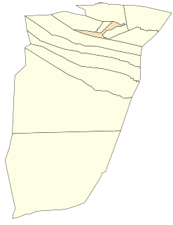
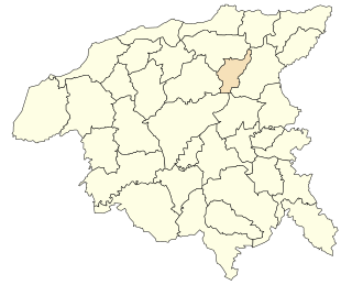
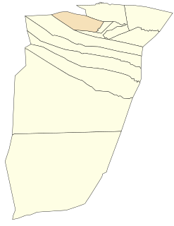
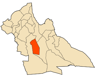
Sidi Bouzid, Algeria سيدي بوزيد | |
|---|---|
Commune and town | |
 office | |
 | |
| Country | |
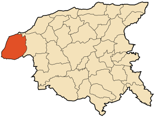
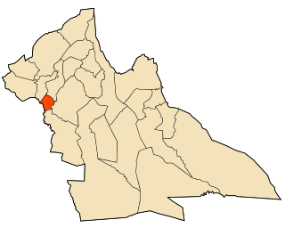
| Province | Laghouat Province |
| District | Aflou [1] |
| Population (2008 [2] ) | |
| • Total | 5,191 |
| Time zone | UTC+1 (CET) |
Sidi Bouzid, Algeria is a town and commune in Laghouat Province, Algeria. According to the 1998 census it has a population of 3864. [3]

The municipalities of Algeria form the second level of administrative subdivisions of Algeria. As of 2002, there were 1,541 municipalities in the country.

Laghouat is a province (wilaya) in central Algeria. The name means "the oases". The capital is Laghouat. Other localities include Aflu, Ḥasi Eṛṛmel, Ɛin Maḍi, Kurdan and Makhareg(Benacer Ben Chohra).

Algeria, officially the People's Democratic Republic of Algeria, is a sovereign state in the Maghreb region of North Africa. The capital and most populous city is Algiers, located in the far north of the country on the Mediterranean coast. With an area of 2,381,741 square kilometres (919,595 sq mi), Algeria is the tenth-largest country in the world, the world's largest Arab country, and the largest in Africa. Algeria is bordered to the northeast by Tunisia, to the east by Libya, to the west by Morocco, to the southwest by the Western Saharan territory, Mauritania, and Mali, to the southeast by Niger, and to the north by the Mediterranean Sea. The country is a semi-presidential republic consisting of 48 provinces and 1,541 communes (counties). It has the highest human development index of all the non-island African countries.