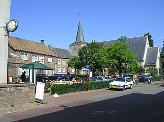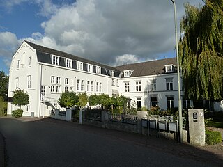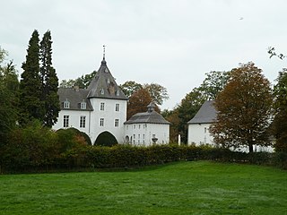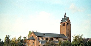
Eijsden is a village situated in the very south of the European country the Netherlands. It is located in the southeastern part of the province of Limburg.

Margraten is a village and a former municipality in the southeastern part of the Netherlands.

Banholt is a village in the Dutch province of Limburg. It is part of the municipality of Eijsden-Margraten and lies about 10 km southeast of Maastricht.

Bemelen is a village in the Dutch province of Limburg. It is part of the municipality of Eijsden-Margraten, and lies about 5 km east of Maastricht.

Cadier en Keer is a village in the Dutch province of Limburg. It is a part of the municipality of Eijsden-Margraten, and lies about 5 km east of Maastricht.

Eckelrade is a village in the Dutch province of Limburg. It is part of the municipality of Eijsden-Margraten, and situated about 8 km southeast of the town of Maastricht.
Breust is a former village in the Dutch province of Limburg. It is located in the municipality of Eijsden-Margraten, and is now a neighbourhood of Eijsden.

Gronsveld is a village in the Dutch province of Limburg. It is part of the municipality of Eijsden-Margraten and situated southeast of the municipality of Maastricht, to which it is bordering.

Jabeek is a village in the Dutch province of Limburg. It is located in the municipality of Beekdaelen, on the German border about 8 km east of Geleen. Jabeek borders on the German village Süsterseel.

Mesch is a village in the Dutch province of Limburg. It is located in the municipality of Eijsden-Margraten, quite near to the Netherlands' the southerly border with Belgium, on the other side of which the neighbouring village of Moelingen is situated. In its northwest, Mesch borders the larger village of Eijsden, whereas the city and municipality of Maastricht lies about 10 km farther to the north. The relatively small Voer river, which has its source in Belgium, passes through this village among other streams and waterways, before draining into the Meuse river at Eijsden. The Mergellandroute, a route often used by tourists and mapped out by the ANWB, also passes through Mesch.

Mheer is a village in the Dutch province of Limburg. It is located in the municipality of Eijsden-Margraten and about 12 km southeast of Maastricht.

Noorbeek is a village in the Dutch province of Limburg. It is located in the municipality of Eijsden-Margraten and about 12 km southeast of Maastricht. Noorbeek is one of the southernmost villages of the Netherlands and was named after the nearby river Noor.

Oost is a village in the south of the Netherlands. There it is situated near the "Maas" ("Meuse") river in the southwestern part of the province of Limburg.

Rijckholt is a village in the Dutch province of Limburg. It is located in the municipality of Eijsden-Margraten.

Wijlre is a village in the Dutch province of Limburg. It is located in the municipality of Gulpen-Wittem.

Oost-Maarland is a village in the south east of the European country Netherlands. There it is an administrative population centre in the Eijsden-Margraten municipality, which forms part of the Province of Limburg. In fact Oost-Maarland consists of two separate places with a different history. One is the village and former municipality of Oost, whereas the other is an in a distance of a few hundred metres separately to the southeast situated township called Maarland.

Berg is a hamlet in the Dutch province of Limburg. It is located in the municipality of Eijsden-Margraten, on the road between Maastricht and Margraten.

Eijsden-Margraten (Dutch pronunciation: [ˌɛizdəˈmɑrɣraːtə ]; is a municipality situated in the very south of the Netherlands. There it is located in the southeastern part of the province of Limburg.

Moelingen is a village in the municipality of Voeren, which is part of the province of Limburg in Belgium.

The Noor or Langwater is a river in the Netherlands and Belgium. The Noor is a right-bank tributary to the river Voer, which later joins the Meuse. Rising in Eijsden-Margraten, in the Dutch province of Limburg, the Noor eventually drains in the river Voer in Voeren, in the Belgian province of Limburg.


