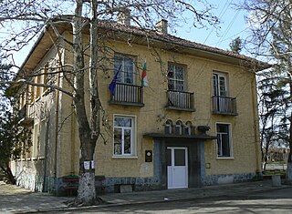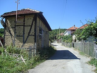
Dobrich Province is a province in northeastern Bulgaria, part of Southern Dobruja geographical region. It is bounded on east by the Black Sea, on south by Varna Province, on west by Šumen and Silistra provinces, on the north by Romania. It is divided into 8 municipalities. At the 2011 census, it had a population of 186,016. The province was part of Romania between 1913 and 1940.

Gorna kula is a village in Kardzhali Province in the very south of Bulgaria, located in the Eastern Rhodopes on the banks of the river Krumovitsa. The majority of its population consists of ethnic Turks.
Kozarze is a village in the administrative district of Gmina Ciechanowiec, within Wysokie Mazowieckie County, Podlaskie Voivodeship, in north-eastern Poland. It lies approximately 3 kilometres (2 mi) south-west of Ciechanowiec, 29 km (18 mi) south of Wysokie Mazowieckie, and 69 km (43 mi) south-west of the regional capital Białystok.
Zavet is a town in northeastern Bulgaria, part of Razgrad Province and located in the geographic region of Ludogorie. It is the administrative centre of the homonymous Zavet Municipality, which lies in the northern part of Razgrad Province. Zavet is situated in the western Ludogorie Plateau, 12 kilometres from Isperih and Kubrat and 35 kilometres from Tutrakan and Razgrad.
Novonikolayevka is a village in the Quba Rayon of Azerbaijan. The village forms part of the municipality of Hacıhüseynli.

South Bay is a 11.6 kilometres (7.2 mi) wide bay indenting for 12.5 kilometres (7.8 mi) the south coast of Livingston Island in the South Shetland Islands, Antarctica. The bay is lying northwest of False Bay and east of Walker Bay, and is entered between Hannah Point and Miers Bluff. The glaciers Kamchiya, Pimpirev, Perunika, Contell, Johnsons and Hurd Ice Cap feed the bay.
Ordzin is a village in the administrative district of Gmina Obrzycko, within Szamotuły County, Greater Poland Voivodeship, in west-central Poland. It lies approximately 7 kilometres (4 mi) south-west of Obrzycko, 11 km (7 mi) north-west of Szamotuły, and 43 km (27 mi) north-west of the regional capital Poznań.

Rusokastro is a village in Kameno Municipality, in Burgas Province, in southeastern Bulgaria.
Karvuna is a village in Balchik Municipality, Dobrich Province, northeastern Bulgaria.

Senokos is a village in Balchik Municipality, Dobrich Province, northeastern Bulgaria.
Petleshkovo is a village in General Toshevo Municipality, Dobrich Province, in northeastern Bulgaria.
Topola is a village in Kavarna Municipality, Dobrich Province, northeastern Bulgaria.
Chernomortsi is a village in Shabla Municipality, Dobrich Province, northeastern Bulgaria.
Kochmar is a village in Tervel Municipality, Dobrich Province, in northeastern Bulgaria.
Mali izvor is a village in Tervel Municipality, Dobrich Province, in northeastern Bulgaria.
Kereka is a village in Dryanovo Municipality, in Gabrovo Province, in northern central Bulgaria.

Noseite is a village in Tryavna Municipality, in Gabrovo Province, in northern central Bulgaria.
Sladun is a village in the municipality of Svilengrad, in Haskovo Province, in southern Bulgaria.
Bunner Glacier is a glacier in the northeast part of Bear Peninsula, flowing to the sea along the southeast side of Gurnon Peninsula, in Marie Byrd Land. It was mapped by the United States Geological Survey from surveys and from U.S. Navy air photos, 1959–66, and named by the Advisory Committee on Antarctic Names for Sergeant Donald R. Bunner, a member of the U.S. Army Aviation Detachment in Antarctica during U.S. Navy Operation Deepfreeze 1965 and 1966.

Smin Peak is the partly ice-free peak rising to 866 m in the southeast foothills of Louis-Philippe Plateau on Trinity Peninsula in Graham Land, Antarctica. It is surmounting Cugnot Ice Piedmont to the east and south.


