
U.S. Highway 16 (US 16) is an east–west United States Numbered Highway between Rapid City, South Dakota, and Yellowstone National Park in Wyoming. The highway's eastern terminus is at a junction with Interstate 90 (I-90)/US 14, concurrent with I-190, in Rapid City. The western terminus is the east entrance to Yellowstone National Park, concurrent with US 14 and US 20. US 16 used to extend all the way to Michigan but has been truncated in favor of I-90 and I-96.
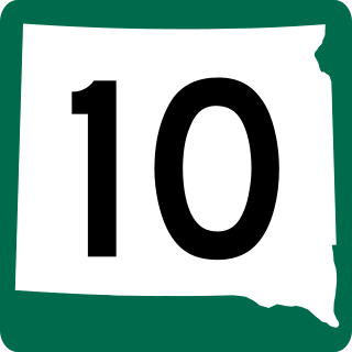
South Dakota Highway 10 (SD 10) is a 175.945-mile (283.156 km) state highway in the north-central and northeastern portions of South Dakota, United States. It connects SD 1804 in Pollock with the Minnesota state line southeast of Sisseton.
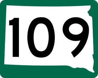
South Dakota Highway 109 is a 12.167-mile (19.581 km) state highway in Grant and Roberts counties in South Dakota, United States, runs along the south side of Big Stone Lake and the Minnesota border from U.S. Route 12 in Big Stone City to South Dakota Highway 15.
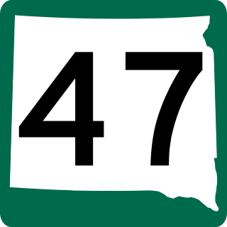
South Dakota Highway 47 is a state route that runs north to south across the central portion of South Dakota. It begins at an unnumbered highway at the North Dakota border north of Eureka, and ends at the Nebraska border, where it becomes Nebraska Highway 137. It is just under 241 miles (388 km) in length.
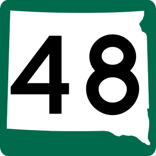
South Dakota Highway 48 is a 12.462-mile (20.056 km) state highway in Union County, South Dakota, United States, that begins at Interstate 29, about 2.5 miles (4.0 km) west of Spink, and becomes Big Sioux River Road, formerly Iowa Highway 403, northwest of Akron, Iowa.
South Dakota Highway 53 is a state route that runs north to south across south central South Dakota. It consists of two separate segments:

South Dakota Highway 50 is a state route serving south central and southeast South Dakota. The current alignment begins at the junction of South Dakota Highway 34 at "Lee's Corner" east of Fort Thompson, and ends at the Iowa border near Richland, where it continues as Iowa Highway 3. It is about 212 miles (341 km) in length.
South Dakota Highway 26 (SD 26) is a 49.540-mile-long (79.727 km) state highway in the central part of the U.S. state of South Dakota. It connects rural areas of Hyde, Hand, and Spink counties.
South Dakota Highway 34 is a state route that runs parallel to Interstate 90 across the entire state of South Dakota. It begins at the Wyoming border west of Belle Fourche, as a continuation of Wyoming Highway 24 (WYO 24). The eastern terminus is at the Minnesota border east of Egan, or southwest of Airlie, Minnesota, where it continues as Minnesota State Highway 30 (MN 30). It is just over 419 miles (674 km) in length, making it the longest state highway in South Dakota.

South Dakota Highway 20 (SD 20) is a 385.079-mile (619.725 km) state highway in northern South Dakota, United States, that connects the Montana state line, west-southwest of Camp Crook, with the Minnesota state line, east-southeast of Revillo, via Buffalo, Bison, Timber Lake, Mobridge, Selby, and Watertown. From Mobridge to the Walworth–Potter county line, this highway is part of the Lewis and Clark Trail. From about Timber Lake to just west of Mobridge, this highway is part of the Native American Scenic Byway. From the Montana state line to Camp Crook, the highway is a dirt road.
South Dakota Highway 42 (SD 42) is a segmented state highway in southeastern South Dakota, United States. The first segment is a six-mile-long (9.7 km) highway in Aurora County. The second and longest is 60 miles (97 km) long and connects Ethan and Sioux Falls. The final segment connects Sioux Falls to Iowa Highway 9 southeast of Rowena.
South Dakota Highway 130 (SD 130) is a 7.111-mile (11.444 km) state highway in Walworth County, South Dakota, United States, that connects the city of Selby with the town of Java.

South Dakota Highway 407 (SD 407) is a 1.786-mile (2.874 km) state highway on the southern edge of Oglala Lakota County, South Dakota, United States. Along with Nebraska Highway 87 (N-87), SD 407 serves as a connector route between U.S. Route 20 (US 20) in Rushville, Nebraska and U.S. Route 18 (US 18) in Pine Ridge.
South Dakota Highway 123, 467th Avenue, is a 10.486-mile (16.876 km) north–south state highway in Grant and Roberts counties in South Dakota, United States, that connects U.S. Route 12 (US 12) with South Dakota Highway 15 (SD 15).

South Dakota Highway 314 (SD 314) is a 3.751-mile-long (6.037 km) state highway in southwestern Yankton County, South Dakota, United States, that runs from SD 50 to the western city limits of Yankton.
South Dakota Highway 168 is a state highway in Butte County in the U.S. state of South Dakota. It runs from U.S. Highway 85 (US 85) to SD 79. The highway is maintained by the South Dakota Department of Transportation (SDDOT), and is not part of the National Highway System.
South Dakota Highway 249 (SD 249) is a state highway in the U.S. state of South Dakota that extends from SD 47 to SD 34 in Buffalo County. The entire highway is located within Fort Thompson and is maintained by the South Dakota Department of Transportation (SDDOT). It is not a part of the National Highway System.
South Dakota Highway 253 (SD 253) is an 18.024-mile-long (29.007 km) state highway in the north-central part of the U.S. state of South Dakota. It exists entirely within Edmunds County, from U.S. Route 12 (US 12) west of Roscoe to SD 47 north of Bowdle. The route is maintained by the South Dakota Department of Transportation (SDDOT) and is not a part of the National Highway System.
U.S. Highway 16 (US 16) is a 69-mile-long (111 km) east–west United States Numbered Highway in the western part of the U.S. state of South Dakota. It travels between Yellowstone National Park in Wyoming and Rapid City. In South Dakota, the highway extends from the Wyoming state line near Newcastle, Wyoming, to Interstate 90 (I-90) in Rapid City.

South Dakota Highway 1806 is a state highway in the U.S. state of South Dakota. It exists in four distinct sections. Its longest section begins at SD 273 and runs along the Missouri River nearly its whole length, serving Pierre. SD 1806 along with SD 1804 are numbered from the years of the Lewis and Clark Expedition.

