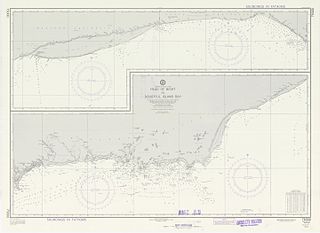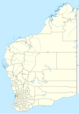
The Houtman Abrolhos is a chain of 122 islands and associated coral reefs, in the Indian Ocean off the west coast of Australia, about 80 km (50 mi) west of Geraldton, Western Australia. It is the southernmost true coral reef in the Indian Ocean, and one of the highest latitude reef systems in the world. It is one of the world's most important seabird breeding sites, and is the centre of Western Australia's largest single-species fishery, the western rock lobster fishery. It has a small seasonal population of fishermen, and a limited number of tourists are permitted for day trips, but most of the land area is off limits as conservation habitat. It is well known as the site of numerous shipwrecks, the most famous being the Dutch ships Batavia, which was wrecked in 1629, and Zeewijk, wrecked in 1727.
The Pilbara is a large, dry, thinly populated region in the north of Western Australia. It is known for its Aboriginal peoples; its ancient landscapes; the red earth; and its vast mineral deposits, in particular iron ore. It is also a global biodiversity hotspot for subterranean fauna.

The Buccaneer Archipelago is a group of islands off the coast of Western Australia near the town of Derby in the Kimberley region. The closest inhabited place is Bardi located about 54 kilometres (34 mi) from the western end of the island group.
The yellow-lipped cave bat is a vesper bat that only occurs in the Kimberley region of northwest Australia. The bat was first captured at Tunnel Creek in 1958 and a description published nearly twenty years later. Aside from observations of their physical characteristics, a preference for caves, and hunting insects over streams, little is known of the species.

The Archipelago of the Recherche, known locally as the Bay of Isles, is a group of 105 islands, and over 1200 "obstacles to shipping", off the south coast of Western Australia. The islands stretch 230 km (140 mi) from east to west and to 50 km (31 mi) off-shore encompassing an area of approximately 4,000 square kilometres (1,544 sq mi). The western group is near Esperance and the eastern group at Israelite Bay. They are located in coastal waters, part of which is designated the Recherche Archipelago Nature Reserve.

Camden Sound is a relatively wide body of water in the Indian Ocean located in the Kimberley region of Western Australia. The Sound is bounded by the Bonaparte Archipelago to the north-east, the Buccaneer Archipelago to the south-west, and Montgomery Reef to the south.
Bigge Island is an island off the coast of the Kimberley region in Western Australia, within the Shire of Wyndham-East Kimberley.
The Islands of the Kimberley are a group of over 2,500 islands lying off the coast of the Kimberley region of Western Australia. The islands extend from the Western Australia–Northern Territory border in the east to just north of Broome in the west.
Boongaree Island is located off the Kimberley coast of Western Australia.
Coronation Island, also known as Garlinju, is located off the Kimberley coast of Western Australia. It encompasses an area of 3,817 hectares. It is located off Port Nelson in the Bonaparte Archipelago, as a part of the group of islands known as the Coronation Islands, which were named by Philip Parker King, the first European to visit the islands in 1820, after the anniversary of the coronation of George III, who had died in January of that year.
Uwins Island is located off the Kimberley coast of Western Australia.
Niiwalarra, formerly known as Sir Graham Moore Island, is located off the Kimberley coast of Western Australia.
Middle Osborn Island is an island off the coast of the Kimberley region in Western Australia.
Hidden Island, known to the traditional owners as Banggoon, is an uninhabited island located in the Kimberley region of Western Australia.
Storr Island, also known as Yudawala or Yeewadan Ganjal, is an uninhabited island located in the Kimberley region of Western Australia.
Katers Island is an uninhabited island located in the Kimberley region of Western Australia.
St Andrew Island is an uninhabited island located in the Kimberley region of Western Australia.
Champagny Island, known to the traditional owners as Nimenba, is an island off the coast of the Kimberley region in Western Australia.
Molema Island is an island off the Kimberley coast of Western Australia.
Eucalyptus kenneallyi, commonly known as Kenneally's white gum, is a species of tree that is endemic to two small islands off the Kimberley coast of Western Australia. It has smooth bark, lance-shaped adult leaves, flower buds in groups of seven, white flowers and cylindrical fruit.


