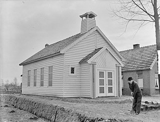
Daarlerveen is a village in the Dutch province of Overijssel. It is located in the municipality of Hellendoorn, about 2 km south of the town of Vroomshoop.
Geleen is a city in the southern part of the province of Limburg in the Netherlands. With 31,670 inhabitants in 2020, it is part of the municipality of Sittard-Geleen. Geleen is situated along the river Geleenbeek, a right tributary to the river Meuse. The Latin name for Geleenbeek is Glana, meaning "clear river". The town centre is situated at about 60 m above sea level.

Schin op Geul is a village in the Dutch province of Limburg. It is located in the municipality of Valkenburg aan de Geul, about 3 km southeast of the town of Valkenburg.

Elsloo is a village in the Dutch province of Limburg. It is located in the municipality of Stein, about 2 km south of the town of Stein itself. Beek-Elsloo railway station serves Elsloo.
Spanbroek is a small city in the Dutch province of North Holland. It is a part of the municipality of Opmeer, and lies about 9 km (6 mi) northwest of Hoorn.

Reuver is a village in the Dutch province of Limburg. It is located in the municipality of Beesel, about 10 km south of the city of Venlo. The successful metal band Epica comes from Reuver.

Krabbendijke is a village in the Dutch province of Zeeland. It is located in the municipality of Reimerswaal, about 6 km southeast of the town of Kruiningen.
Wolfheze is a village in the Dutch province of Gelderland. It is located in the municipality of Renkum, 10 km northwest of the city of Arnhem.

Kruiningen is a village in the Dutch province of Zeeland. It is located in the municipality of Reimerswaal, about 5 km south of the village of Yerseke.

Halder is a hamlet in the Dutch province of North Brabant. It is located in the municipality of Sint-Michielsgestel, between the towns of Sint-Michielsgestel and Vught.
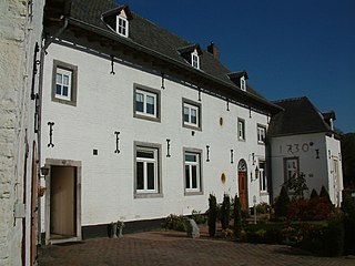
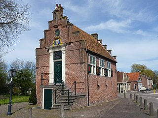
Jansgeleen Castle, now erroneously called Sint-Jansgeleen or Sint Jansgeleen, was a medieval castle in the little village of Spaubeek, in the Dutch province of Limburg. Spaubeek is located in the municipality of Beek, about 3 km south of the town of Geleen. Spaubeek was a separate municipality until 1982, when it was merged with Beek.

Beek is a village in the Dutch province of Gelderland. It is located in the municipality Montferland, about 5 km southeast of Didam.
Beek is a hamlet in the Dutch province of Limburg. It is located in the municipality Venray, about 3 km northwest of the center of that town.

Bears or Beers is a small village in the Dutch province of Friesland. It is located in the municipality Leeuwarden, about 8 km southwest of Leeuwarden. Bears has a population of about 133 in January 2017.

Berg is a hamlet in the Dutch province of Limburg. It is located in the municipality of Eijsden-Margraten, on the road between Maastricht and Margraten.

Bern is a hamlet in the Dutch province of Gelderland. It is located in the municipality of Zaltbommel, about 10 kilometres south of the town Zaltbommel.

Huis ter Heide is a village in the central Netherlands. It is located in the municipality of Zeist, Utrecht, about 2 km northeast of the centre of the town Zeist.

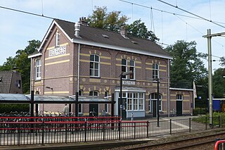
Beek is a town and municipality in the southeastern Netherlands, in the province of Limburg. As of 2012, Beek has a population of about 16,400, of which about 8,800 live in the town of Beek.

Heelsum is a village in the Dutch province of Gelderland. It is located in the municipality of Renkum, west of Arnhem.

Lemiers is a village in the Dutch province of Limburg. It lies directly north-west of Vaals.


