Stara Gradiška is a village and a municipality in Slavonia, in the Brod-Posavina County of Croatia. It is located on the left bank of the river Sava, across from Gradiška in Bosnia and Herzegovina.
Slavonski Šamac is a village and municipality located on the river Sava in Croatia. It is located in Brod-Posavina county in the region of Slavonia. On the opposite side of the river lies the Bosnian town of Šamac. Slavonski Šamac is located on the D7 road, a part of the European route E73.
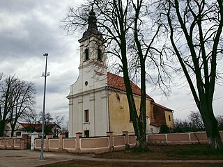
Vrpolje is a village and a municipality in Brod-Posavina County, Croatia. It is located 10 km south of Đakovo; elevation 90 m.
Bebrina is a village and a municipality in the Brod-Posavina County, Croatia. There are a total of 3,252 inhabitants in the municipality with 95.42% Croats and 2.55% Ukrainians.

Brodski Stupnik is a municipality in Brod-Posavina County, Croatia that is part of the Slavonski Brod built-up area. There were 3,036 inhabitants in the 2011 census in which 95% declared themselves Croats. Brodski Stupnik is a centre for wine making.

Bukovlje is a village and a municipality in Brod-Posavina County, Croatia.
Davor is a village and a municipality in Brod-Posavina County. It is located about 40 km (25 mi) west of the city of Slavonski Brod, Croatia, on the left bank of the Sava river across Srbac.
Donji Andrijevci is a village and a municipality in Brod-Posavina County, Croatia.
Dragalić is a municipality in Brod-Posavina County, Croatia. It is around 7 km west of Nova Gradiška.
Gornji Bogićevci is a village and a municipality in Brod-Posavina County, Croatia.
Gundinci is a municipality in Brod-Posavina County, Croatia. There are 2,294 inhabitants in which 99% declare themselves Croats.
Nova Kapela is a municipality in Brod-Posavina County, Croatia. There are 4,227 inhabitants in the following settlements:
Oprisavci is a village and municipality in Brod-Posavina County, Croatia.
Podcrkavlje is a village and a municipality in Brod-Posavina County, Croatia.
Vrbje is a village and a municipality in Brod-Posavina County, Croatia.
Velika Kopanica is a village and municipality in Brod-Posavina County, Croatia.
Sibinj is a village and municipality in Brod-Posavina County, Croatia. It is part of the Slavonski Brod built-up area.
Rešetari is a village and municipality in Brod-Posavina County, Croatia.

Svilaj is a settlement in the Croatian municipality of Oprisavci. According to the 2001 census, the settlement has 290 inhabitants. Svilaj's importance lies in the border checkpoint and a bridge over the nearby Sava river, which bears the internationally important freeway Pan-European Corridor Vc.

Staro Petrovo Selo is a village and a municipality in Brod-Posavina County, Croatia. It is located between Nova Gradiška and Slavonski Brod.
