Stad Stadlandet | |
|---|---|
Peninsula | |
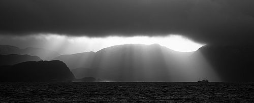
 View of the peninsula | |
 | |
| Interactive map of the peninsula | |
| Coordinates: 62°07′42″N05°13′17″E / 62.12833°N 5.22139°E | |
| Location | Vestland, Norway |
| Offshore water bodies | Vanylvsfjorden, Sildagapet |
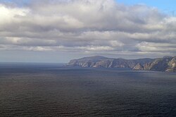
Stad [1] or Stadlandet [2] is a peninsula in Stad Municipality in the northwestern part of the Nordfjord district in Vestland county in Norway. The peninsula is considered the dividing point between the Norwegian Sea to the north and the North Sea to the south. The name is sometimes also written as Stadt, Statt, or Stadlandet (not to be confused with the similar German word Stadt ), because the Norwegian pronunciation of the d in this case is as a t. The name could be translated as "the land of places" or "the land of towns". Some of the larger villages on the peninsula include Ervik (northwestern tip), Borgundvåg and Leikanger (northeastern side), and the village of Selje (southwestern side).