The Lusatian Highlands or Lusatian Hills form a hilly region in Germany and the Czech Republic. A western extension of the Sudetes range, it is located on the border of the German state of Saxony with the Czech Bohemian region. It is one of the eight natural landscapes of Upper Lusatia.
Stadio della Vittoria is a multi-purpose stadium in Bari, Italy. The stadium holds 40,400 people. In 1991, it was used as a refugee camp, for 20,000 Albanians refugees, of the ship Vlora.

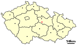
Libkov is very small village in the Pardubice Region of the Czech Republic. It has around 100 inhabitants.
Whitney and Thayer Woods is a nature reserve and forest located in Cohasett and Hingham, Massachusetts. The property is owned by The Trustees of Reservations.
Sant is a sum (district) of Övörkhangai Province in southern Mongolia.
Wawrzęcice is a village in the administrative district of Gmina Wiązów, within Strzelin County, Lower Silesian Voivodeship, in south-western Poland. Prior to 1945 it was in Germany.

Khnkoyan is a village in the Lori Province of Armenia.
Kozowszczyzna is a settlement in the administrative district of Gmina Juchnowiec Kościelny, within Białystok County, Podlaskie Voivodeship, in north-eastern Poland.
Kamionka is a village in the administrative district of Gmina Zabłudów, within Białystok County, Podlaskie Voivodeship, in north-eastern Poland.

Michałówek is a village in the administrative district of Gmina Nieborów, within Łowicz County, Łódź Voivodeship, in central Poland. It lies approximately 11 kilometres (7 mi) south of Nieborów, 12 km (7 mi) south-east of Łowicz, and 51 km (32 mi) north-east of the regional capital Łódź.
Walentynów is a settlement in the administrative district of Gmina Zadzim, within Poddębice County, Łódź Voivodeship, in central Poland.

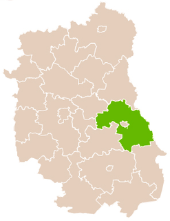
Żegotów is a village in the administrative district of Gmina Piaski, within Świdnik County, Lublin Voivodeship, in eastern Poland. It lies approximately 7 kilometres (4 mi) south of Piaski, 21 km (13 mi) south-east of Świdnik, and 29 km (18 mi) south-east of the regional capital Lublin.

Chocimek is a village in the administrative district of Gmina Lubsko, within Żary County, Lubusz Voivodeship, in western Poland. It lies approximately 9 kilometres (6 mi) north-east of Lubsko, 24 km (15 mi) north of Żary, and 33 km (21 mi) west of Zielona Góra.
Nowe Budkowice is a village in the administrative district of Gmina Murów, within Opole County, Opole Voivodeship, in south-western Poland.

Owink is a settlement in the administrative district of Gmina Chojnice, within Chojnice County, Pomeranian Voivodeship, in northern Poland. It lies approximately 16 kilometres (10 mi) north of Chojnice and 93 km (58 mi) south-west of the regional capital Gdańsk.
Gangara, Niger is a village and rural commune in Niger.

Gare de Saint-Quentin is a railway station serving the town Saint-Quentin, Aisne department, northern France. It is situated on the Creil–Jeumont railway.
Valtenberg is a mountain of Saxony, southeastern Germany.

Robertson Quay is a wharf near the source of the Singapore River. It is the largest and most upstream of the three wharfs on the river.

The Dessau tramway network is a network of tramways forming part of the public transport system in Dessau-Roßlau, a city in the federal state of Saxony-Anhalt, Germany.


