References
- ↑ U.S. Geological Survey Geographic Names Information System: Staten, West Virginia
- ↑ "Post Offices". Jim Forte Postal History. Retrieved June 2, 2016.
- ↑ Kenny, Hamill (1945). West Virginia Place Names: Their Origin and Meaning, Including the Nomenclature of the Streams and Mountains. Piedmont, WV: The Place Name Press. p. 600.
Municipalities and communities of Calhoun County, West Virginia, United States | ||
|---|---|---|
| Town | 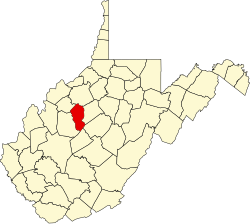 | |
| Unincorporated communities |
| |
| Ghost town | ||
38°52′13″N81°02′56″W / 38.87028°N 81.04889°W
| | This article about a location in Calhoun County, West Virginia is a stub. You can help Wikipedia by expanding it. |