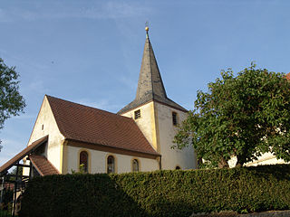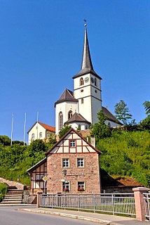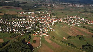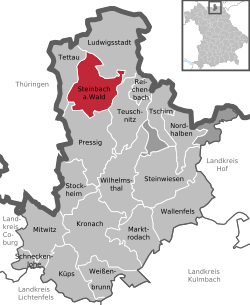
Reichenberg is a market town and municipality in the district of Würzburg in Bavaria in Germany. It consists of the villages Albertshausen, Fuchsstadt, Lindflur, Reichenberg and Uengershausen.

Ofterschwang is a municipality in southern Germany, in Oberallgäu, Bavaria. It is a professional winter sports venue, regularly used for World Cup alpine events.

Schönau an der Brend is a municipality with 1,378 inhabitants in the district of Rhön-Grabfeld in northern Bavaria, Germany. It consists of two villages: Schönau an der Brend and Burgwallbach.

Eggolsheim is a municipality in the district of Forchheim in Bavaria in Germany.

Lichtenau is a market town in the district of Ansbach, Mittelfranken, Bavaria, Germany. A small village/town of roughly 3,780 population on the “Castle Road” theme route of Southern Germany. It lies at 390 meters above sea level with an area of 41.39 km². A very traditional little town, it is also home to the “Veste Lichtenau” (castle) which now houses the Nuremberg Archives.

Oberdachstetten is a municipality in the district of Ansbach in Bavaria in Germany.

Dinkelscherben is a municipality in the district of Augsburg in Bavaria in Germany. Fleinhausen, Anried, Breitenbronn, Ettelried, Grünenbaindt, Häder, Lindach, Oberschöneberg and Ried are villages that make up the municipality of Dinkelscherben.

Mödingen is a municipality in the district of Dillingen in Bavaria in Germany.

Genderkingen is a municipality in the district of Donau-Ries in Bavaria in Germany. Close to the village the river Lech flows into Danube.

Langensendelbach is a municipality in the district of Forchheim in Bavaria in Germany with a population of over 3100. The village Bräuningshof is a part of Langensendelbach.

Kirchendemenreuth is a municipality in the district of Neustadt an der Waldnaab in Bavaria, Germany. It includes the village (Dorf) of Steinreuth.

Missen-Wilhams is a municipality in the district of Oberallgäu in Bavaria.

Rettenberg is a municipality in the district of Oberallgäu in Bavaria in Germany.

Tegernheim is a municipality in the district of Regensburg in Bavaria in Germany. The Danube flows through the cadastrial area of the village.

Niederlauer is a municipality in the district of Rhön-Grabfeld in Bavaria in Germany. The rivers Franconian Saale and Lauer flow through the village.

Falkenberg is a municipality in the district of Rottal-Inn in Bavaria in Germany. It includes the village of Diepoltskirchen.

Gochsheim is a municipality in the district of Schweinfurt in Bavaria, Germany. Historically, along with its neighboring village of Sennfeld, it had the rare situation of being a Reichsdorf or Imperial Village.

Röthlein is a municipality in the district of Schweinfurt in Bavaria, Germany. The village is located south of Schweinfurt, close to the Main valley. The quarters are Röthlein, Heidenfeld and Hirschfeld.

Leinach is a municipality in the district of Würzburg in Bavaria in Germany. It includes the villages of Unterleinach and Oberleinach.

Edling is a village and a municipality in the district of Rosenheim in Bavaria in Germany.


