Stensved | |
|---|---|
Town | |
 The former Stensved barracks, now parish hall | |
 Stensved Location in Region Zealand 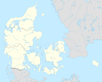 Stensved Stensved (Denmark) | |
| Coordinates: 54°59′43″N12°01′28″E / 54.99538°N 12.02445°E | |
| Country | Denmark |
| Region | Region Sjælland |
| Municipality | Vordingborg |
| Area | |
| • Urban | 1 km2 (0.4 sq mi) |
| Population (2025) [1] | |
| • Urban | 1,522 |
| • Urban density | 1,500/km2 (3,900/sq mi) |
| Time zone | UTC+1 (CET) |
| • Summer (DST) | UTC+2 (CEST) |
| Postal Code | DK-4773 Stensved |
Stensved is a satellite town to Vordingborg with a population of 1,522 (1. January 2025). [1] It is located 10 km east of Vordingborg on southern Zealand in Vordingborg Municipality, Region Zealand in Denmark.
The area what is now Stensved was inhabited already in the Iron Age, which stretched from 500 BC to 500 AD in Denmark.