| Stung Sen Wildlife Sanctuary | |
|---|---|
 | |
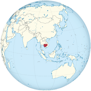
| Location | Kampong Thom Province, Cambodia |
| Nearest city | Kampong Thom City |
| Coordinates | 12°38′06″N104°31′15″E / 12.634978°N 104.520950°E Coordinates: 12°38′06″N104°31′15″E / 12.634978°N 104.520950°E [1] |
| Area | 6,335 ha (24.46 sq mi) [1] |
| Established | 2001 [1] |
| Official name | Stung Sen |
| Designated | 2 November 2018 |
| Reference no. | 2365 [2] |
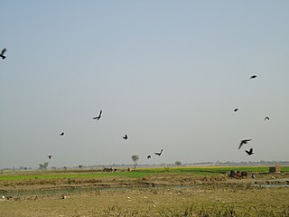
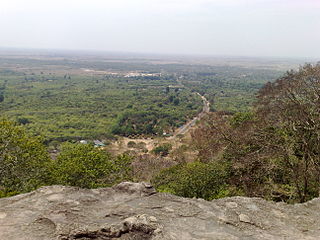
Stung Sen is a protected multiple use management area and wildlife sanctuary in the Kampong Thom Province of Cambodia. It is located near the south-eastern tip of the Tonlé Sap, one of three wildlife sanctuaries around the lake, including Boeng Tonlé Chhmar and Prek Toal. [3]
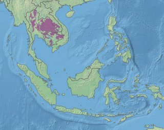
Kampong Thom is a province (khaet) of Cambodia. It borders the provinces of Siem Reap to the northwest, Preah Vihear to the north, Stung Treng to the northeast, Kratie to the east, Kampong Cham, Kampong Chhnang to the south, and the Tonle Sap to the west.

Cambodia, officially the Kingdom of Cambodia, is a country located in the southern portion of the Indochina peninsula in Southeast Asia. It is 181,035 square kilometres in area, bordered by Thailand to the northwest, Laos to the northeast, Vietnam to the east and the Gulf of Thailand to the southwest. The sovereign state of Cambodia has a population of over 16 million. The official religion is Theravada Buddhism, practised by approximately 95 percent of the population. The country's minority groups include Vietnamese, Chinese, Chams and 30 hill tribes. The capital and largest city is Phnom Penh, the political, economic and cultural centre of Cambodia. The kingdom is an elective constitutional monarchy with a monarch, currently Norodom Sihamoni, chosen by the Royal Throne Council as head of state. The head of government is the Prime Minister, currently Hun Sen, the longest serving non-royal leader in Southeast Asia, ruling Cambodia since 1985. In 802 AD, Jayavarman II declared himself king, uniting the warring Khmer princes of Chenla under the name "Kambuja". This marked the beginning of the Khmer Empire, which flourished for over 600 years, allowing successive kings to control and exert influence over much of Southeast Asia and accumulate immense power and wealth. The Indianised kingdom facilitated the spread of first Hinduism and then Buddhism to much of Southeast Asia and undertook many religious infrastructural projects throughout the region, including the construction of more than 1,000 temples and monuments in Angkor alone. Angkor Wat is the most famous of these structures and is designated as a World Heritage Site. After the fall of Angkor to Ayutthaya in the 15th century, a reduced and weakened Cambodia was then ruled as a vassal state by its neighbours. In 1863, Cambodia became a protectorate of France, which doubled the size of the country by reclaiming the north and west from Thailand.

Tonlé Sap refers to a seasonally inundated freshwater lake, the Tonlé Sap Lake and an attached river, the 120 km (75 mi) long Tonlé Sap River, that connects the lake to the Mekong River. They form the central part of a complex hydrological system, in the 12,876 km2 (4,971 sq mi) Cambodian floodplain covered with a mosaic of natural and agricultural habitats that the Mekong replenishes with water and sediments annually. The central plain formation is the result of millions of years of Mekong alluvial deposition and discharge. From a geological perspective, the Tonlé Sap Lake and Tonlé Sap River are a current freeze-frame representation of the slowly, but ever shifting lower Mekong basin. Annual fluctuation of the Mekong's water volume, supplemented by the Asian monsoon regime causes a unique flow reversal of the Tonle Sap River.