Sullivan Township | |
|---|---|
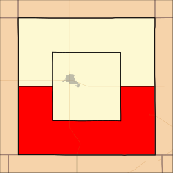 Location in Grant County | |
| Coordinates: 37°28′00″N101°18′17″W / 37.46667°N 101.30472°W | |
| Country | United States |
| State | Kansas |
| County | Grant |
| Area | |
• Total | 215.40 sq mi (557.89 km2) |
| • Land | 215.37 sq mi (557.81 km2) |
| • Water | 0.031 sq mi (0.08 km2) 0.01% |
| Elevation | 3,074 ft (937 m) |
| Population (2000) | |
• Total | 353 |
| • Density | 1.6/sq mi (0.6/km2) |
| GNIS feature ID | 0485082 |
Sullivan Township is a township in Grant County, Kansas, United States. As of the 2000 census, its population was 353.
