| Talangpelempang | |
|---|---|
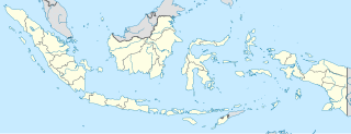
| Coordinates: 1°49′S103°30′E / 1.817°S 103.500°E Coordinates: 1°49′S103°30′E / 1.817°S 103.500°E | |
| Country | Indonesia |
| Province | Jambi Province |
| Regency | Batang Hari Regency |
Talangpelempang is a town in the Jambi Province of Sumatra, Indonesia. It is located 17 miles (27 km) from the town of Jambi. [1]

Sumatra is a large island in western Indonesia that is part of the Sunda Islands. It is the largest island that is located entirely in Indonesia and the sixth-largest island in the world at 473,481 km2.

Indonesia, officially the Republic of Indonesia, is a country in Southeast Asia, between the Indian and Pacific oceans. It is the world's largest island country, with more than seventeen thousand islands, and at 1,904,569 square kilometres, the 14th largest by land area and the 7th largest in combined sea and land area. With over 261 million people, it is the world's 4th most populous country as well as the most populous Muslim-majority country. Java, the world's most populous island, contains more than half of the country's population.

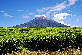
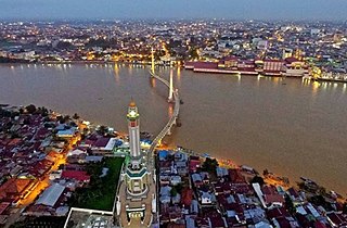
Jambi is a province of Indonesia. It is located on the east coast of central Sumatra and spans to the Barisan Mountains in the west. Its capital and largest city is Jambi. The province has a land area of 50,058 km2, and it has a population of 3,092,265 according to the 2010 Census; by January 2014 this had risen to 3,412,459.
Nearby towns and villages include Pinangtinggi (13.6 nm), Bejubang (11.0 nm), Tempino (2.0 nm), Paalmerah (14.2 nm), Talang Gudang (6.1 nm) and Muarabahar (14.4 nm).

Pinangtinggi is a village in the Jambi Province of Sumatra, Indonesia.

Bejubang is a town and sub district (kecamatan) of the Batang Hari Regency in the Jambi Province of Sumatra, Indonesia.

Tempino is a town in the Batang Hari Regency in the Jambi Province of Sumatra, Indonesia.

