Caigua Airport is an airport serving the gas pipeline construction in the Cordillera Central, 32 kilometres (20 mi) west of Villamontes in the Tarija Department of Bolivia.
Ixiamas Airport is an airport serving the town of Ixiamas in the La Paz Department of Bolivia.
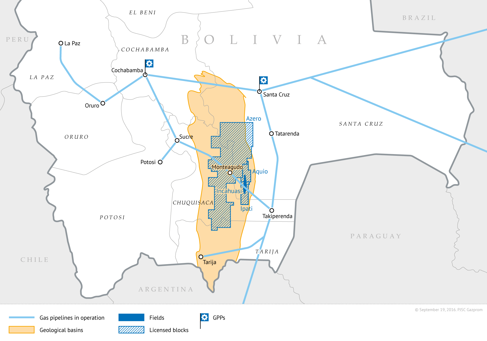
El Porvenir Sur Airport is an airport serving the El Porvenir Sur gas pipeline facility in the Chuquisaca Department of Bolivia.
El Remate Airport is an airstrip 7 kilometres (4.3 mi) northwest of Santa Rosa del Sara in the Santa Cruz Department of Bolivia.
Las Brizas Airport is an airstrip serving the village of Las Brizas on the headwaters of the Matos River in the Beni Department of Bolivia.
Intiraymi Airport is an extremely high elevation airport serving the Franklin Mining, Inc. silver and gold mining concession at La Joya in the Oruro Department of Bolivia.
La Vertiente Airport is an airport serving the pipeline facility at La Vertiente in the Tarija Department of Bolivia.
Mizque Airport is an airport 4 kilometres (2.5 mi) west-northwest of Mizque in the Cochabamba Department of Bolivia.
Padilla Airport is an airport just north of the town of Padilla in the Chuquisaca Department of Bolivia.
Piso Firme Airport is a public use airport within the Paragua River village of Piso Firme in the Santa Cruz Department of Bolivia. The runway parallels the river.
Pitai Airport is an airstrip in the sparsely populated Bolivian pampa of the Beni Department of Bolivia.
Progreso Airport is an airport serving the Apere River village of Progreso in the Beni Department of Bolivia.
San Miguel South Airport is an airport serving San Miguel de Velasco in the Santa Cruz Department of Bolivia. The runway is on the south edge of the town.
Santiago de Chiquitos Airport is a public use airport serving the town of Santiago de Chiquitos in the Santa Cruz Department of Bolivia.
San Miguel de Gaser Airport is a public use airport located near Sipuati, Beni, Bolivia.
Saipirú Airport is a public use airstrip serving the natural gas pipeline facility at Saipirú in the Santa Cruz Department of Bolivia.
Villa Negrita Airport is a public use airstrip near Villa Negrita in the Beni Department of Bolivia. Villa Negrita is a ranching region of Yacuma Province, south of Lake Guachuna in the Bolivian pampa.
San Vicente Airport is an airstrip 1 kilometre (0.62 mi) west of San Vicente, in the Santa Cruz Department of Bolivia. The town is on the border with Brazil.
Santa Teresita Airport is a public use airport serving Santa Teresita in the Santa Cruz Department of Bolivia. Santa Teresita is a border crossing point with Brazil.
Ventilla Airport is a high-elevation airport serving the San Cristóbal silver mine and its supporting town in the Potosí Department of Bolivia. San Cristóbal is within the Bolivian Altiplano, and there is high terrain north and south of the runway.
