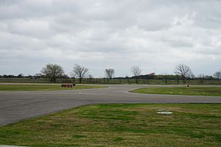
Mesquite Metro Airport is a public use airport in Dallas County, Texas, 3 nautical miles (5.6 km) east of the central business district of Mesquite. The airport is west of the border of Dallas County and Kaufman County.
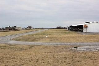
Livingston Municipal Airport is a city-owned, public-use airport located five nautical miles southwest of the central business district of Livingston, a city in Polk County, Texas, United States. According to the FAA's National Plan of Integrated Airport Systems for 2009–2013, it is categorized as a general aviation facility.
Newton Municipal Airport is a county-owned, public-use airport located three nautical miles (6 km) northeast of the central business district of Newton, a city in Newton County, Texas, United States.
Madisonville Municipal Airport is a city-owned, public-use airport located three nautical miles (6 km) southwest of the central business district of Madisonville, a city in Madison County, Texas, United States.
Ennis Municipal Airport is a city-owned public airport in Ennis, Ellis County, Texas, United States, located 2 nautical miles (3.7 km) west of the central business district. The airport has no IATA or ICAO designation.
Commerce Municipal Airport is a city-owned public airport 3 nautical miles (5.6 km) north of the central business district of Commerce, Texas, United States. The airport has no IATA nor ICAO designation.
Propwash Airport is a privately owned public airport in Justin, Denton County, Texas, United States, located approximately 3 nautical miles (5.6 km) west of the central business district. The airport has no IATA or ICAO designation.
Horseshoe Bend Airport is a privately owned public airport in Weatherford, Parker County, Texas, United States, located approximately 12 nautical miles (22 km) southwest of the central business district. The airport has no IATA or ICAO designation.
Rhome Meadows Airport is a privately owned public airport in Rhome, Wise County, Texas, United States, located approximately 6 nautical miles (11 km) north of the central business district. The airport has no IATA or ICAO designation.
Heritage Creek Airstrip is a privately owned public airport in Rhome, Wise County, Texas, United States, that also serves the city of Decatur, being located approximately 9 nautical miles (17 km) southeast of the central business district. The airport has no IATA or ICAO designation.
Clark Airport is a privately owned public airport in Justin, Denton County, Texas, United States, located approximately 3 nautical miles (5.6 km) south of the central business district. The airport has no IATA or ICAO designation.
Bishop's Landing Airport is a privately owned public airport in Celina, Collin County, Texas, United States, located approximately 5 nautical miles (9.3 km) northeast of the central business district. The airport has no IATA or ICAO designation.
Ralph M. Hall/Rockwall Municipal Airport is a city-owned public airport 2 nautical miles (3.7 km) east of the central business district of Rockwall, Texas, United States. The airport has no IATA or ICAO designation.
Valley Mills Municipal Airport is a city-owned public airport in Valley Mills, McLennan County, Texas, United States, located approximately 3 nautical miles (5.6 km) southeast of the central business district. The airport has no IATA or ICAO designation.
Van Zandt County Regional Airport is a city-owned public airport in Wills Point, Van Zandt County, Texas, United States, located about 3.0 nautical miles (5.6 km) southeast of the central business district. The airport has no IATA or ICAO designation.
Canton-Hackney Airport is a city-owned public airport in Canton, Van Zandt County, Texas, United States, located about 2 nautical miles (3.7 km) north of the central business district. The airport has no IATA or ICAO designation.
Jacksboro Municipal Airport is a public airport in Jacksboro, Jack County, Texas, United States, located 1 nautical mile (1.9 km) northeast of the central business district. The airport has no IATA or ICAO designation.
Stonewall County Airport is a public airport in Aspermont, Stonewall County, Texas, United States, located 1 nautical mile (1.9 km) northeast of the central business district. The airport has no IATA or ICAO designation.
Hill-Miller Municipal Airport is a city-owned public airport 2 nautical miles (3.7 km) southwest of the central business district of Atlanta, Cass County, Texas, United States. Most U.S. airports use the same three-letter location identifier for the FAA and IATA, but Hall-Miller Municipal Airport is assigned ATA by the FAA and has no IATA designation. IATA assigned ATA to Comandante FAP Germán Arias Graziani Airport in Anta, Ancash Region, Peru.
