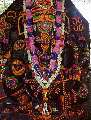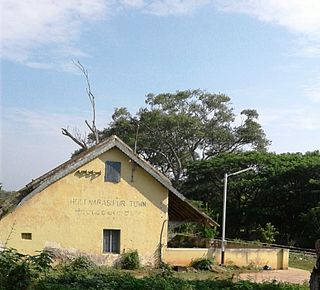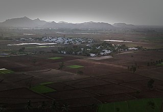
Holalkere is a town and taluk headquarters located near Chitradurga in the Indian state of Karnataka.

The Tungabhadra River starts and flows through the state of Karnataka, India, during most of its course, then through Andhra Pradesh, and ultimately joins the Krishna River near Murvakonda in Andhra Pradesh.

Hassan is a city and district headquarter of Hassan district in Karnataka state of India.

Somwarpet is a panchayat town in Kodagu district in the Indian state of Karnataka. It is the main town of the Somwarpet taluk, in the north-east of the district. 2nd highest Administrative town in Karnataka in terms of elevation. The main crops grown in the area are coffee and spice crops such as cardamom, peppers, oranges, ginger and vegetables.

Holenarasipura is a town and taluk in Hassan district of Karnataka. The town is situated on the banks of the Hemavati, one of the tributaries of the Kaveri.
Arkalgud, also known as Arakalagudu is a panchayat town and is one among the eight taluks of Hassan district in the state of Karnataka, India. It is situated 30 km from Hassan, 181 km from Mangalore and 195 km from Bangalore. The river Hemavati forms the entire northern boundary of the Taluk; river Kaveri runs through a portion of the south. It is well connected by road to many towns and cities of Karnataka. Hassan Junction railway station is the nearest major railway station and Kannur International Airport is the nearest airport at 150 kilometres.
Harapanahalli is a small city, taluk and sub-divisional headquarter in Vijayanagara District in the Indian state of Karnataka.
Hoovina Hadagali or Huvina Hadagali is a town and a taluk in the Vijayanagara district of Karnataka, India. It is the administrative headquarters of the HuvinaHadagali Taluk.
Kampli is a town in the Bellary district, Kampli taluk, in the Indian state of Karnataka. It is a headquarters of Kampli Taluk. The town is situated about 15 km away from Hampi.
Siruguppa is a town and headquarters of the Siruguppa taluk and second largest city in Ballari district after Hospete carved out of Ballari district of Indian state of Karnataka.

Tirumakudalu Narasipura the temple city of Karnataka, commonly known as T. Narasipura or T.N. Pura, is a town in Mysore district in the Indian state of Karnataka. The first name refers to the land at the confluence, (trimakuta in Sanskrit at the confluence of the Kaveri, Kabini and Spatika Sarovara. The city is a Taluk of Mysore district and 32 km south-east of the district headquarters and has five Hobli centers. This taluk is bordered by Chamarajanagar district to the south and Mandya districts to the north with an area of 598 sq km. Agriculture is the main occupation of the people here. Rice is the main food crop and silk is the main commercial crop. Fossils of Neolithic age have been found by excavation in some lands of this Taluk. Vyasatirtha, the guru of Purandara Dasa, and T Chowdiah, the unique violinist, were born in this Taluk. Talakad, the capital of the Western Ganga dynasty, is in this Taluk.

Ballari, formerly Bellary, is a major district in Karnataka. It is located at north-eastern part of Karnataka. This district belongs to Kalyana-Karnataka. This district was one of the biggest districts in Karnataka until the Vijayanagara district was carved out of Ballari district in 2021 officially.
Chowlahiriyur is a village and a hobli in Ajjampura taluk of Chikmagalur district, in the state of Karnataka, India.

Kenchanagudda is a village in the southern state of Karnataka, India. The village is located in the Siruguppa taluk of Ballari district.
Ballari pronounced is a historic city in Bellary district in Karnataka state, India.
Karatagi is a town and taluk headquarters of Karatagi taluk and it is located in Koppal District in Karnataka, India. It is one of the most important commercial centres in the district. The town is made up of multiple paddy fields, which are irrigated by the Tungabhadra Canal. Karatagi is known for its numerous rice mills, which can be found in the town and the surrounding areas.
Nittur is a village in the Siruguppa taluk of Bellary district in Karnataka state, India.
Udegola is a village in the Siraguppa taluk of Bellary district in Karnataka state, India.

Konanur or Paduvalamarahalli is a village in Nanjangud taluk of Mysore district, Karnataka state, India.
Channarayapatna Taluk is one of the eight taluks of Hassan District, Karnataka, India. Channarayapatna town, being the taluka headquarters, lies on the Mangalore - Bangalore National highway 75 in Karnataka, India. Its popularity can be attributed to its historical and religious significant, coconut farming, sugar and also to its fields of literature, culture, religion etc. Now it is growing predominantly towards improvements in the modern era. The Taluk Office, Channarayapatna is located off the Bangalore-Mangalore highway in Channarayapatna town. The office is housed in the royal and majestic Mini Vidhana Soudha. In addition to the Taluka office, it also houses the Sub-Registrar office, Sub-Treasury office & Labour Inspector offices. The Taluk Office is headed by the Tahsildar who is of KAS cadre. They include Shirastedars, Deputy Tahsildars, Revenue Inspectors, FDAs, SDAs & Village Accountants. The Tahsildar also heads survey section which has survey supervisors, surveyors, Band Jawans, Licensed Surveyors besides managing food & civil supplies section, which includes Food Shirastedars and Food Inspectors. The Tahsildar has to manage the Muzrai section to take care of Muzrai temples. In addition to conventional revenue duties, the Tahsildar has to perform magisterial functions as provided in the CrPC. The Tahsildar also has many other functions related to election, disaster management, SC/ST, Backward classes, women, children welfare etc. Overall, they will be responsible for the peace and tranquillity of the taluk. Channarayapatna has an average elevation of 827 metres (2713 ft). There are 40 panchayat villages in Channarayapatna Taluk, for 407 villages.


