
Cumberland County is a county located in the U.S. state of Tennessee. As of the 2020 census, the population was 61,145. Its county seat is Crossville. Cumberland County comprises the Crossville, TN micropolitan statistical area.

Crossville is a city in and the county seat of Cumberland County, Tennessee, United States. It is part of the Crossville Micropolitan Statistical Area. The population was 12,071 at the 2020 census.

U.S. Route 27 or U.S. Highway 27 (US 27) is a north–south United States Numbered Highway in the Southern and Midwestern U.S. The southern terminus is at US 1 in Miami, Florida. The northern terminus is at Interstate 69 (I-69) in Fort Wayne, Indiana. From Miami, it goes up the center of Florida, then west to Tallahassee, Florida, and north through such cities and towns as Columbus, Georgia; Rome, Georgia; Chattanooga, Tennessee; Lexington, Kentucky; Cincinnati, Ohio; Oxford, Ohio; Richmond, Indiana; and Fort Wayne, Indiana. It once extended north through Lansing, Michigan, to Cheboygan, Mackinaw City, and, for about three years, even as far as St. Ignace. US 27 was first signed in 1926, replacing what had been the eastern route of the Dixie Highway in many states.

U.S. Route 25 or U.S. Highway 25 (US 25) is a north–south United States Numbered Highway that runs for 750 miles (1,210 km) in the Southern and Midwestern U.S. Its southern terminus is in Brunswick, Georgia, from where it proceeds mostly due north, passing through the cities of Augusta, Georgia; Greenville, South Carolina; and Asheville, North Carolina, before dividing into two branches, known as US 25W and US 25E between Newport, Tennessee, and North Corbin, Kentucky. After passing through Richmond and Lexington, Kentucky, it reaches its northern terminus at Ohio state line in Covington, Kentucky. The route is an important crossing of the Appalachian Mountains, and it is covered by three of the corridors of the Appalachian Development Highway System (ADHS). When the highway was originally established in 1926, the route extended from North Augusta, South Carolina, to Port Huron, Michigan. The southern end was extended to its current terminus in 1936, while the northern end was truncated in 1974.
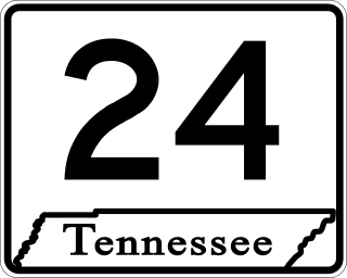
State Route 24 is an unsigned west–east state highway in Tennessee, as it coincides with U.S. Route 70 and U.S. Route 70N for its entire duration from Nashville to Crossville. The road begins in western Nashville and ends in Crossville. It runs alongside Interstate 40 for its entire length.

Cumberland Mountain State Park is a state park in Cumberland County, Tennessee, in the southeastern United States. The park consists of 1,720 acres (7.0 km2) situated around Byrd Lake, a man-made lake created by the impoundment of Byrd Creek in the 1930s. The park is set amidst an environmental microcosm of the Cumberland Plateau and provides numerous recreational activities, including an 18-hole Bear Trace golf course.

U.S. Route 127 (US 127) is a 758-mile-long (1,220 km) north–south U.S. Highway in the eastern half of the United States. The southern terminus of the route is at US 27 in Chattanooga, Tennessee. The northern terminus is at Interstate 75 (I-75) near Grayling, Michigan. Since 1987, it has been the core of the annual World's Longest Yard Sale, also known as the Highway 127 Corridor Sale, which now stretches 690 miles (1,110 km) from Addison, Michigan, to Gadsden, Alabama. The sale, held every August, was started to demonstrate that the older U.S. Highway System has something to offer that the Interstate Highway System does not. In Michigan, US 127 tripled in length in 2002, taking mileage from its parent, US 27.

U.S. Route 70N is a northern alternate to U.S. Route 70, passing through parts of Middle Tennessee and East Tennessee. It runs 86.0 miles (138.4 km) east–west from Lebanon to Crossville, connecting the cities of Carthage, Baxter, Cookeville, and Monterey.

North Carolina Highway 87 (NC 87) is a primary state highway in the U.S. state of North Carolina. NC 87 begins in the Atlantic coastal town of Southport and crosses into Virginia at the Virginia state line five miles (8 km) north of Eden in Rockingham County. At 240 miles (390 km) in length, NC 87 is the second longest state highway in the U.S. state of North Carolina with only North Carolina Highway 24 being longer. Labeled as a north–south route, NC 87 travels along a relatively straight southeast–northwest path, connecting Cape Fear region with the Piedmont. It is also the main north-south route connecting the cities of Fayetteville, Sanford, Burlington and Reidsville.
U.S. Route 127 in Tennessee is a 129.5-mile-long (208.4 km) United States Numbered Highway from Chattanooga to the Kentucky state line at Static. The highways connects through Dunlap, Pikeville, Crossville, and Jamestown. Throughout its length, US 127 straddles the line between East Tennessee and Middle Tennessee.
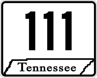
State Route 111 (SR 111) is a north–south highway in Middle and East Tennessee. The road begins in Soddy-Daisy and ends north of Byrdstown in the community of Static, at the Tennessee/Kentucky state line. The length is 116 mi (186.7 km).

State Route 68 (SR 68) is a 106.89-mile-long (172.02 km) state highway in the eastern part of the U.S. state of Tennessee.
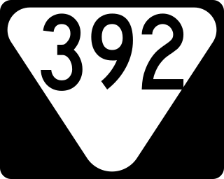
State Route 392 is a state highway and bypass around downtown Crossville in Cumberland County in the U.S. state of Tennessee.

State Route 101 is a state highway in Bledsoe and Cumberland counties in the eastern portion U.S. state of Tennessee.
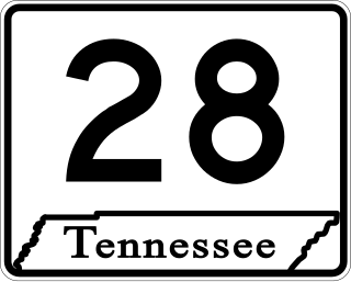
State Route 28 is a state highway in the state of Tennessee, traversing the state in a north–south axis from south of Jasper to the Kentucky state line at Static.

State Route 30 is an east-west state highway in the central and eastern portions of the U.S. state of Tennessee. It runs generally west to east, connecting McMinnville in Warren County with Parksville along the Ocoee River in Polk County. It crosses several major geographic features in Tennessee, including the Cumberland Plateau, the Sequatchie Valley, the Tennessee River, and parts of the Cherokee National Forest.
U.S. Route 41 Alternate, also signed U.S. Route 41A in Tennessee (US 41A), connects the town of Monteagle, Tennessee, with Hopkinsville, Kentucky, 10 miles (16 km) north of the Tennessee line. It serves the city of Clarksville, Tennessee, on its way to Nashville, where it briefly runs concurrently with US 41. It then separates again to serve Shelbyville, Winchester, and Tullahoma before rejoining the main route atop Monteagle Mountain. US 41A runs west of US 41 for its entire length, aside from one mile in downtown Nashville where they are concurrent. US 41A is also concurrent with U.S. Route 31A from Nashville to Triune, Tennessee, for a distance of approximately 25 miles (40 km).
State Route 282, also known as Dunbar Road, is a 3.7-mile-long (6.0 km) secondary state highway in Cumberland County, Tennessee, connecting SR 101 with Lake Tansi Village. SR 282 is the primary road, and only state highway, in and out of Lake Tansi Village.

State Route 298, also known as Genesis Road, is a north–south state highway in the Cumberland Plateau region of East Tennessee.

State Route 419, also known as Pigeon Ridge Road, is a 4.0-mile-long (6.4 km) north–south state highway in Cumberland County, Tennessee. It serves as the primary road in and out of Cumberland Mountain State Park. Even though it is signed north–south, SR 419 primarily goes in an east–west direction.

