This article needs additional citations for verification .(May 2025) |
Tokmakari | |
|---|---|
village | |
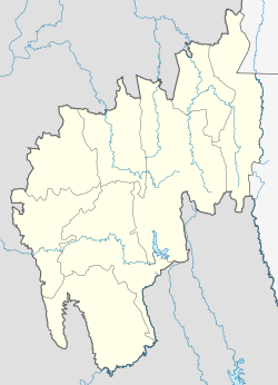 Tokmakari Location in Tripura, India | |
| Coordinates: 23°57′29″N91°26′38″E / 23.958°N 91.444°E | |
| Country | |
| State | Tripura [1] |
| Languages | |
| • Official | Kokborok, English |
| Time zone | UTC+5:30 (IST) |
| Vehicle registration | TR |
| Website | tripura |
Tokmakari is a village located in the 2 kilometers interiors from Borokathal town of Tripura. This village is populated by the ethnic Tripuri tribes. Kokborok is the language spoken by the people of this village.