Torfyanovka is a border crossing point between Russia and Finland. It is located in Leningrad Oblast. With over 2 million annual crossings, it is the busiest border crossing on the Finnish-Russian border, which is also the border of the European Union and Russia. European route E18 passes through Torfyanovka. [1] [2] [3]
 Customs terminal at Torfyanovka
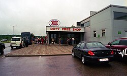 Duty-free shop in Torfyanovka
 Torfyanovka highway to border crossing
 Passport stamp from the border checkpoint in Vaalimaa


