Touboro | |
|---|---|
Commune and town | |
| Coordinates: 7°46′15″N15°21′24″E / 7.77083°N 15.35667°E | |
| Country | |
| Region | North |
| Elevation | 509 m (1,670 ft) |
| Population (2012) | |
| • Total | 23,196 |
| Time zone | UTC+1 (WAT) |
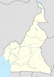
Touboro is a town and commune in North Region Cameroon. [1]
An April 10, 2014 report says:
"Thousands of refugees, fleeing the violence of armed groups (Séléka and Anti-balaka) are concentrated in the towns of Mbaimboum and Touboro, on the border between the two Countries. Neither the local authorities nor international organizations are providing care for these people, who are left on their own or, in the best cases, can count on the solidarity of relatives and friends from Cameroon." [2]

Wum is a town and commune in Cameroon. It is the capital of Menchum division in the Northwest Province.

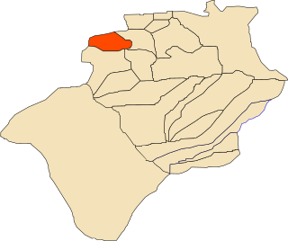
Boukaïs is a town and commune in Lahmar District, Béchar Province, in western Algeria. According to the 2008 census its population is 970, up from 890 in 1998, and its annual population growth rate is 0.9%. The commune covers an area of 1,760 square kilometres (680 sq mi).

Kerzaz is a town and commune, and capital of Kerzaz District, in Béchar Province, western Algeria. According to the 2008 census its population is 5,028, up from 4,276 in 1998, and its annual growth rate is 1.7%. The commune covers an area of 10,520 square kilometres (4,060 sq mi).

Méridja is a town and commune in Kénadsa District, Béchar Province, in western Algeria. As of 2008 the population of the commune was 592, up from 532 in 1998, with an annual growth rate of 1.1%. This makes it the smallest commune by population in Béchar Province. The commune covers an area of 2,270 square kilometres (880 sq mi).

Timoudi is a town and commune in Kerzaz District, Béchar Province, in western Algeria. According to the 2008 census its population is 2,389, up from 2,116 in 1998, with an annual population growth rate of 1.2%. The area of the commune is 6,175 square kilometres (2,384 sq mi).

Batouri is a town and commune in the East Province of Cameroon. It is the second largest municipality in the province after the provincial capital Bertoua. It is located on the main road connecting Bertoua to the Central African Republic and to the Cameroonian town of Yokadouma. It had an estimated 33,500 inhabitants as of 2012.

Kadiolo Cercle is an administrative subdivision of the Sikasso Region of southern Mali. The administrative center (chef-lieu) is the town of Kadiolo.

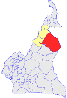
Mayo-Rey is a department of North Province in Cameroon. The department covers an area of 36,529 km2 and as of 2001 had a total population of 242,441 .The capital of the department lies at Tcholliré.
Fotokol is a town and commune in Logone-et-Chari Department, Far North Region, Cameroon. It is home to Fotokol High School.

Garoua-Boulaï is a town and commune in Cameroon. The town is on the border with the Central African Republic. Across the border, the nearest CAR settlement on the road is Baboua.
Hina is a town, commune and political sub division in the Department of Mayo-Tsanaga in the Far North Region of Cameroon.
Kai-Kai is a town and commune in Cameroon.
Tignère is a town and commune in Cameroon.
Ngaoui is a town and commune in Cameroon.
Kolofata is a town and commune in Cameroon.

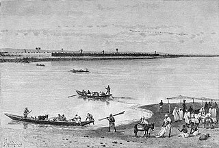
Logone-Birni is a town and commune in Cameroon. The town lies on the left (west) bank of the Logone River which at this point forms the state boundary between Camaroon and Chad. It is the capital of the Kotoko people, whose two other principal cities are Kousséri and Goulfey.

Mouanko is a town and commune in the Littoral Region of Cameroon, lying on the north bank of the Sanaga River. It is the main town of the Douala Edéa Wildlife Reserve.

Misaje is a town and commune in Donga-Mantung department in the Northwest Region of Cameroon. The town lies at the top of the Ring Road, about 15 kilometers west of Nkambé, where the Ring Road meets the road north to Dumbu and the border with Nigeria.

Kentzou is a town and commune in Cameroon.
Gbiti is a border town in the East Province in Cameroon.