
State Route 72 (SR-72) is a 35.393-mile-long (56.960 km) state highway in the U.S. state of Utah. The current alignment is an extension of SR-10. The highway provides access to Loa from Interstate 70 (I-70).
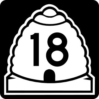
State Route 18 (SR-18) is a state highway in southern Utah, running for 51.005 miles (82.085 km) in Washington and Iron Counties from St. George to Beryl Junction. It forms part of the Legacy Loop Highway from St. George to Parowan. The highway closely follows the route of the Old Spanish Trail through Dixie National Forest.
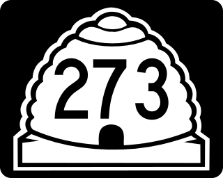
State Route 273 (SR-273) is a state highway completely within Davis County in the northern portion of the U.S. state of Utah that connects Farmington and US-89 to Kaysville and I-15.

State Route 56 (SR-56) is a 61.502-mile-long (98.978 km) state highway completely within Iron County in southwestern Utah. SR-56 runs from the Utah/Nevada border to SR-130 in Cedar City.

State Route 39 (SR-39) is a state highway in northern Utah connecting Ogden to Woodruff via Ogden Canyon and Huntsville. The highway is on 12th Street in Ogden and the Ogden River Scenic Byway through Ogden Canyon. The route is over sixty-seven miles long.
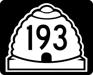
State Route 193 is an east and west highway located completely in Davis County, Utah, United States that begins at the West Davis Corridor, runs past the south entrance of Hill Air Force Base and ends at US-89.
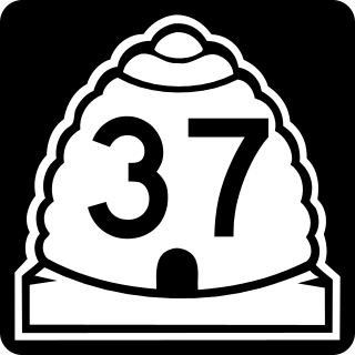
State Route 37 (SR-37) is a state highway in the U.S. state of Utah, forming a 270° loop through the western part of the Ogden-Clearfield metropolitan area. The route is 12.35 miles (19.88 km).

State Route 45 (SR-45) is a state highway in the U.S. state of Utah. It runs from Dragon Road south of Bonanza in Uintah County north to US-40 in Naples, south of Vernal. The route spans 40.03 miles (64.42 km) south–north.

State Route 108 (SR-108) is a state highway in the U.S. state of Utah that spans 12.920 miles (20.793 km) in Davis and Weber Counties. The road connects I-15 and Layton to Syracuse and Clinton before terminating at SR-126 in Roy. The entire route is within the Ogden-Clearfield metropolitan area.
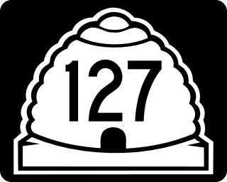
State Route 127 is a state highway in the state of Utah that spans 2.507 miles (4.035 km) within Syracuse in Davis County.

Lund Highway is a road connecting Cedar City to the ghost town of Lund in Iron County, Utah. Although it is classified as a minor collector, it was once an important connection between the Union Pacific Railroad at Lund and the national parks of southern Utah and northern Arizona.
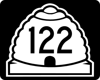
State Route 122 (SR-122) is a state highway in the U.S. state of Utah, connecting the ghost town of Hiawatha with SR-10.
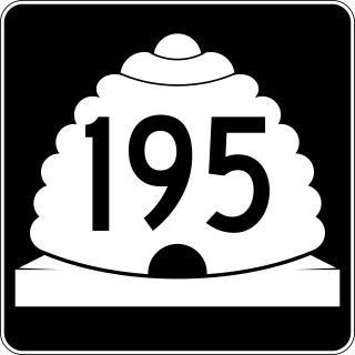
State Route 195 (SR-195) was a north–south state highway in the U.S. state of Utah, following 2300 East in Salt Lake County. Formed in 1947, the route initially created a link from south of the University of Utah to future I-80. By the late-1960s, the route was extended south to Holladay, including an unbuilt portion of 2300 East between 2100 South and I-80. Following relinquishments of the route to Salt Lake City and Holladay, the road was deleted from the state highway system in 2007.

State Route 88 (SR-88) is a state highway in the U.S. state of Utah, connecting Ouray to US-40/US-191.
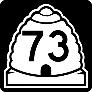
State Route 73 (SR-73) is a 36.147-mile-long (58.173 km) state highway in the U.S. state of Utah, connecting the Rush, Cedar, and Utah Valleys. It is a discontinuous route in two segments; one long segment connecting SR-36 to Saratoga Springs, and one short segment within the city of Lehi.

State Route 107 (SR-107) is a state highway in the U.S. state of Utah that spans 1.502 miles (2.417 km) in West Point, connecting SR-110 and 3000 West. The highway is routed entirely on 300 North.

State Route 53 (SR-53) is a 1.949-mile-long (3.137 km) state highway in the U.S. state of Utah, connecting Interstate 15 (I-15) and I-84 with U.S. Route 89 (US-89) via Ogden's 24th Street. SR-53 was created in 1969 as a remnant of SR-37, which was truncated to its current length at that time.

State Route 24 (SR-24) is a state highway in south central Utah which runs south from Salina through Sevier County then east through Wayne County and north east through Emery County. At a total of 163.294 miles, it is the longest contiguous state route in Utah. A portion of the highway has been designated the Capitol Reef Scenic Byway as part of the Utah Scenic Byways program.
Utah State Route 134 (SR-134) is a state highway in the state of Utah that connects the cities of West Haven, West Weber, Plain City, Farr West, Pleasant View, and North Ogden over a distance of 14.3 miles (23.0 km) in western and northern Weber County.

