
U.S. Route 91 or U.S. Highway 91 is a 172.7-mile-long (277.9 km) north–south United States highway running from Brigham City, Utah, to Idaho Falls, Idaho, in the U.S. states of Idaho and Utah. Despite the "1" as the last digit in the number, US 91 is no longer a cross-country artery, as it has mostly been replaced by Interstate 15. The highway currently serves to connect the communities of the Cache Valley to I-15 and beyond. Prior to the mid-1970s, US 91 was an international commerce route from Long Beach, California, to the Canada–US border north of Sweetgrass, Montana. US 91 was routed on the main streets of most of the communities it served, including Las Vegas Boulevard in Las Vegas and State Street in Salt Lake City. From Los Angeles to Salt Lake, the route was built along the corridor of the Arrowhead Trail. A portion of the highway's former route in California is currently State Route 91.

Interstate 195 (I-195), also known as the Saco Industrial Spur, is a short auxiliary Interstate Highway running 1.55 miles (2.49 km) in eastern York County, Maine. The highway, located entirely in the city of Saco, is a nominally east–west route that provides access to downtown Saco and the resort town of Old Orchard Beach from I-95. The western terminus of I-195 is at a trumpet interchange with the Maine Turnpike in central Saco. The route has numbered interchanges with Industrial Park Road, US Route 1 (US 1), and State Route 5 (SR 5) before terminating at an at-grade intersection with SR 5 near the border between Saco and Old Orchard Beach.
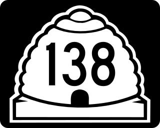
State Route 138 is a highway, completely within Tooele County in northern Utah that connects Grantsville to Erda and Stansbury Park. The route runs twenty miles (32 km) and is the old routing of U.S. Route 50 Alternate and U.S. Route 40.

Interstate 80 (I-80) is a part of the Interstate Highway System that runs from San Francisco, California, to Teaneck, New Jersey. The portion of the highway in the US state of Utah is 197.51 miles (317.86 km) long through the northern part of the state. From west to east, I-80 crosses the state line from Nevada in Tooele County and traverses the Bonneville Salt Flats—which are a part of the larger Great Salt Lake Desert. It continues alongside the Wendover Cut-off—the corridor of the former Victory Highway—US Route 40 (US-40) and the Western Pacific Railroad Feather River Route. After passing the Oquirrh Mountains, I-80 enters the Salt Lake Valley and Salt Lake County. A short portion of the freeway is concurrent with I-15 through Downtown Salt Lake City. At the Spaghetti Bowl, I-80 turns east again into the mouth of Parleys Canyon and Summit County, travels through the mountain range, and intersects the eastern end of I-84 near Echo Reservoir before turning northeast toward the Wyoming border near Evanston. I-80 was built along the corridor of the Lincoln Highway and the Mormon Trail through the Wasatch Range. The easternmost section also follows the historical routes of the first transcontinental railroad and US-30S.

State Route 118 (SR-118) is a state highway in the US state of Utah linking I-70/US-89 and Joseph to Richfield. The route is the main street for Joseph, Monroe and Richfield and spans 24.14 miles (38.85 km). The highway was established 1931, initially connecting Joseph to Monroe and Central Valley. Eventually, maintenance of the road was extended north to near Salina.
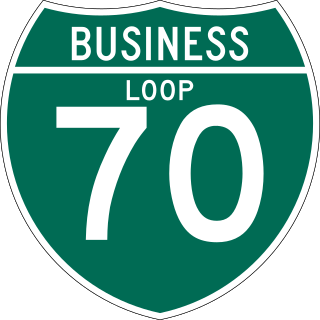
State Route 120 (SR-120) is a state highway in the US state of Utah forming a business loop around I-70 serving the town of Richfield. The route forms the main street for Richfield and spans 3.89 miles (6.26 km). The highway was established 1969, coinciding with the construction of I-70 through Sevier County.

State Route 36 (SR-36) is a highway in northern Utah connecting US-6 in northern Juab County to I-80 in northern Tooele County.

State Route 252 (SR-252) is a state highway that runs more than six miles in Cache County in the northern Utah city of Logan. The route goes from its southern terminus of US-89/US-91 and heads on a northerly path through the west side of Logan. The route's northern terminus is at US-91.
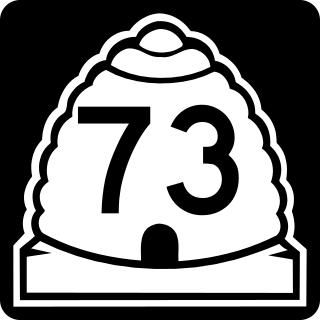
State Route 73 (SR-73) is a 36.147-mile-long (58.173 km) state highway in the U.S. state of Utah, connecting the Rush, Cedar, and Utah Valleys. It is a discontinuous route in two segments; one long segment connecting SR-36 to Saratoga Springs, and one short segment within the city of Lehi.
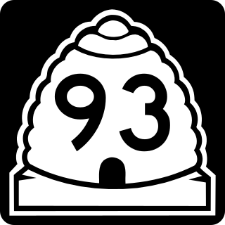
State Route 93 (SR-93) is a state highway in the US state of Utah providing a connection from I-15 to US-89. The highway is completely in the city limits of Woods Cross, spanning 0.37 miles (0.60 km). The entire route is routed along 2600 South. It was formed in 1965 coinciding with the construction of I-15 through the area. At the time of formation, the route at the eastern terminus was legislatively designated SR-106, though it was signed as US-89 and US-91. US-91 was decommissioned in 1974, and the designation of SR-106 changed to the signed route, US-89, in 1977.
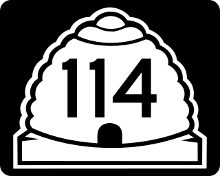
State Route 114 (SR-114) is a state highway in the US state of Utah that spans 10.79 miles (17.36 km) in Utah County. The route forms a loop around US-89 and roughly parallels the coast of Utah Lake as it passes through the west side of Provo, Lindon and Orem, eventually terminating in Pleasant Grove. The highway consists of a portion of Center Street and all of Geneva Road. The highway was formed in 1931, the southern terminus initially extending into the east side of Provo. In 1965, the route was truncated to its present state.

State Route 104 (SR-104) is a state highway in the U.S. state of Utah that sits completely within Ogden in Weber County. The eastern end of this route is a one-way pair of 20th Street and 21st Street that connects I-15 and SR-126 to downtown Ogden, a distance of about 2.5 miles (4.0 km).

State Route 113 (SR‑113) is a 7.1 miles (11.4 km) state highway in the Heber Valley in northern Wasatch County, Utah, United States, that connects U.S. Route 189 (US‑189) in Charleston with U.S. Route 40 (US‑40)/US‑189 in Heber City and forms a northern loop off of US‑189 by way of Midway. The entire length has been designated as part of the Provo Canyon Scenic Byway.

State Route 145 (SR-145), a majority of which is also known as Pioneer Crossing, is a 6.862-mile-long (11.043 km) west–east thoroughfare completely within Utah County in northern Utah that cuts through Saratoga Springs, Lehi, American Fork, and portions of unincorporated Utah County. The portion between Interstate 15 (I-15) and U.S. Route 89 (US-89) has been under state jurisdiction since 1978, while the roadway between SR-68 and I-15 opened in 2010. The road were extended from SR-68 to SR-73 in 2014. The road runs mostly parallel to and south of SR-73, which also connects to SR-68 and I-15. The original portion of the route between I-15 and US-89 is designated as Main Street in American Fork's street grid.

State Route 117 (SR-117) is a state highway in the U.S. state of Utah, connecting Wales and Mount Pleasant in Sanpete County. Running for 12.19 miles (19.62 km) as a two-lane highway, the road was originally placed under state jurisdiction in 1935, but renumbered to its current designation in 1966.

State Route 164 (SR-164) is a state highway in the U.S. state of Utah. Spanning 2.7 miles (4.3 km), it connects State Route 198 with Interstate 15 south of Spanish Fork in Utah County.
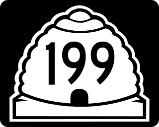
State Route 199 (SR-199) is a state highway in the U.S. state of Utah. Spanning 21.96 miles (35.34 km), it connects SR-196 and the Dugway Proving Ground with SR-36 between Rush Valley and the Deseret Chemical Depot.
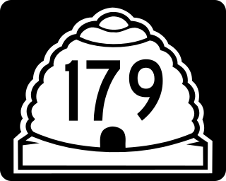
State Route 179, also known as the Midvalley Highway, is a highway in the U.S. state of Utah. It runs through the northern part of the Tooele Valley, located in eastern Tooele County.

