
State Route 95 or Bicentennial Highway is a state highway located in the southeast of the U.S. state of Utah. The highway is an access road for tourism in the Lake Powell and Cedar Mesa areas, notably bisecting Bears Ears National Monument and providing the only access to Natural Bridges National Monument. The highway does not serve any cities, but the small town of Hanksville is its western terminus. Although the highway has existed since the 1930s as a primitive dirt road, it received its name at its dedication as a paved state highway coincident with the U.S. Bicentennial in 1976. The highway forms part of the Trail of the Ancients National Scenic Byway.

State Route 186 (SR-186) is a state highway entirely within Salt Lake City, capital of the U.S. state of Utah. It forms a quarter-beltway connecting US-89 and I-15 leading north from Salt Lake City to I-80 leading east; as such, it effectively forms the missing (non-freeway) quarter of the I-215 belt route around the city, though it does not directly connect to I-215 at the north end. Despite this beltway role, the route passes through downtown Salt Lake City because downtown is built right up to the northern mountains surrounding City Creek Canyon. The portion of the route connecting downtown to I-80 is a high-capacity street heavily used by commuters, especially those travelling to the University of Utah or between downtown and eastern neighborhoods, but the portion on Capitol Hill north of downtown is much narrower and has sharp turns around the Capitol grounds. The roadway runs 9.34 miles (15.03 km) along Victory Road, Columbus Street, 300 North, State Street, 400 South, 500 South, and Foothill Drive.

State Route 111 (SR-111) is a state highway in the U.S state of Utah that runs north–south across the west side of the Salt Lake Valley in Salt Lake County. It connects SR-201 in Magna to SR-209 in West Jordan in a span of 10.6 miles (17.06 km). It is known as 8400 West and Bacchus Highway throughout the route's course, in respect of north to south.

U.S. Route 191 (US-191) is a major 404.168-mile (650.445 km), north–south U.S. Numbered Highway through eastern Utah, United States. The present alignment of US-191, which stretches from Mexico to Canada, was created in 1981 through Utah. Previously the route had entered northern Utah, ending at US-91 in Brigham City, but with the completion of I-15 it was truncated to Yellowstone National Park and re-extended on a completely different alignment. In addition to a large portion of US-163, this extension absorbed several state routes: SR-33, most of SR-44, and SR-260.
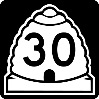
State Route 30 (SR-30) is a state highway in the U.S. state of Utah. It is the only highway signed as a Utah state route to traverse the entire width of the state. Legislatively the highway exists as 3 separate segments. With implied connections via Interstate 84 and U.S. Route 89, the highway is drivable as a continuous route from Nevada to Wyoming. The western segment is a historic corridor paralleling the pre-Lucin Cutoff routing of the First transcontinental railroad. A portion of the eastern segment has been designated the Bear Lake Scenic Byway as part of the Utah Scenic Byways program. The route was created in 1966 by combining several state highways into a single designation.
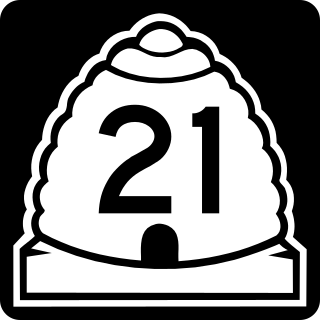
State Route 21 (SR-21) is a state highway in western Utah, running for 107.575 miles (173.125 km) in Millard and Beaver Counties from the Nevada state line near Garrison to Beaver.

State Route 23 (SR-23) is a state highway in northern Utah, running for 29.890 miles (48.103 km) in Cache County from Wellsville to the Idaho state line on the north end of Cornish.

State Route 46 (SR-46) is a 21.6124-mile (34.7818 km) state highway in northern San Juan County, Utah, United States, that connects U.S. Route 191 (US 191) at La Sal Junction with Colorado State Highway 90 (CO 90) om Colorado. It is the only major roadway that connect with the Colorado between Interstate 70 / U.S. Route 6 / U.S. Route 50 on north and U.S. Route 491 on south.

State Route 56 (SR-56) is a 61.502-mile-long (98.978 km) state highway completely within Iron County in southwestern Utah. SR-56 runs from the Utah/Nevada border to SR-130 in Cedar City.
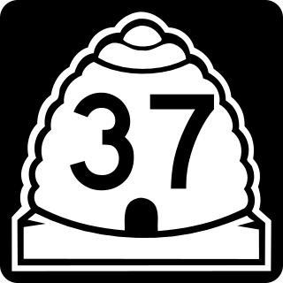
State Route 37 (SR-37) is a state highway in the U.S. state of Utah, forming a 270° loop through the western part of the Ogden-Clearfield metropolitan area. The route is 12.35 miles (19.88 km).

U.S. Route 6 (US-6) is an east–west United States Numbered Highway through the central part of the U.S. state of Utah. Although it is only about 40 miles (64 km) longer than US-50, it serves more populated areas and, in fact, follows what had been US-50's routing until it was moved to follow Interstate 70 (I-70) in 1976. In 2009, the Utah State Legislature named part of the route the "Mike Dmitrich Highway", named after the Utah state senator, which generated controversy, as the state of Utah had previously joined with all the other states through which US-6 passes in naming all of US-6 the Grand Army of the Republic Highway.

State Route 45 (SR-45) is a state highway in the U.S. state of Utah. It runs from Dragon Road south of Bonanza in Uintah County north to US-40 in Naples, south of Vernal. The route spans 40.03 miles (64.42 km) south–north.
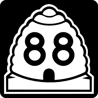
State Route 88 (SR-88) is a state highway in the U.S. state of Utah, connecting Ouray to US-40/US-191.
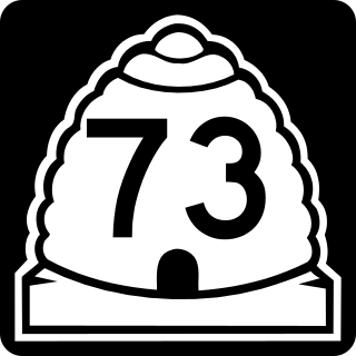
State Route 73 (SR-73) is a 36.147-mile-long (58.173 km) state highway in the U.S. state of Utah, connecting the Rush, Cedar, and Utah Valleys. It is a discontinuous route in two segments; one long segment connecting SR-36 to Saratoga Springs, and one short segment within the city of Lehi.

State Route 153 (SR-153) is a state highway in the U.S. state of Utah. Just over half of the western portion of the highway has been designated the Beaver Canyon Scenic Byway as part of the Utah Scenic Byways and National Forest Scenic Byways programs.
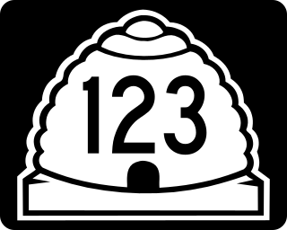
Utah State Route 123 (SR-123) is a state highway in the U.S. state of Utah. Spanning 11.4 miles (18.3 km), it connects the city of East Carbon with US-6 / US-191 in Carbon County.

Utah State Route 125 (SR-125) is a state highway in the U.S. state of Utah. Spanning 21.8 miles (35.1 km), it converts the town of Oak City in Millard County with the city of Delta and US-50 to the west, and the town of Leamington to the north.

State route 147 (SR-147) is a state highway in the U.S. state of Utah. Spanning 18.175 miles (29.250 km), it connects West Mountain and Benjamin in western Utah Valley with Interstate 15 (I-15), Spanish Fork, and Mapleton on the east side of the valley.
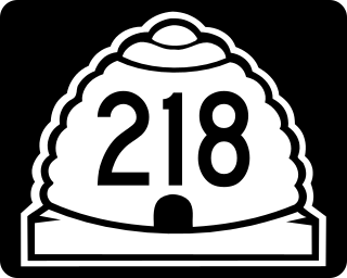
State Route 218 (SR-218) is a state highway in the U.S. state of Utah. Spanning 8.2 miles (13.2 km), it serves as an east/west rural connector, connecting the town of Newton on SR-23 with the city of Smithfield on US-91 in Cache County.


