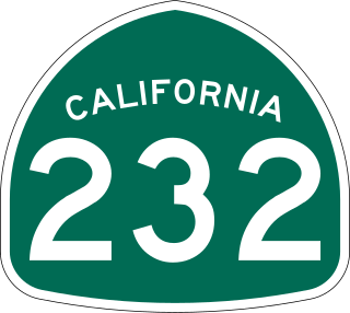
State Route 232 is a state highway in the U.S. state of California that runs along Vineyard Avenue in Ventura County, serving as a connector between US 101 in Oxnard and SR 118 near Saticoy.

State Route 202 (SR-202) is a 1.683-mile (2.709 km) long state highway in the U.S. state of Utah that serves as a connector, linking SR-201 to Interstate 80 (I-80) in rural Salt Lake County. The road has existed since at least 1937, when it connected U.S. Route 40 (US-40) and US-50 via the Garfield Cut-Off Road. It also serves as the eastbound on-ramp for I-80.

State Route 186 (SR-186) is a state highway entirely within Salt Lake City, capital of the U.S. state of Utah. It forms a quarter-beltway connecting US-89 and I-15 leading north from Salt Lake City to I-80 leading east; as such, it effectively forms the missing (non-freeway) quarter of the I-215 belt route around the city, though it does not directly connect to I-215 at the north end. Despite this beltway role, the route passes through downtown Salt Lake City because downtown is built right up to the northern mountains surrounding City Creek Canyon. The portion of the route connecting downtown to I-80 is a high-capacity street heavily used by commuters, especially those travelling to the University of Utah or between downtown and eastern neighborhoods, but the portion on Capitol Hill north of downtown is much narrower and has sharp turns around the Capitol grounds. The roadway runs 9.34 miles (15.03 km) along Victory Road, Columbus Street, 300 North, State Street, 400 South, 500 South, and Foothill Drive.

State Route 111 (SR-111) is a state highway in the U.S state of Utah that runs north–south across the west side of the Salt Lake Valley in Salt Lake County. It connects SR-201 in Magna to SR-209 in West Jordan in a span of 10.6 miles (17.06 km). It is known as 8400 West and Bacchus Highway throughout the route's course, in respect of north to south.

State Route 42 (SR-42) is a 7.390-mile-long (11.893 km) state highway completely within Box Elder County in the U.S. state of Utah. It connects SR-30 to former SH-81 at the Idaho state line. The highway was formerly part of U.S. Route 30S (US-30S), prior to being bypassed and replaced with what is now signed as Interstate 84 (I-84).
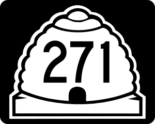
State Route 271 (SR-271) is a state highway within Iron County in the southwestern portion of the US state of Utah that connects Parowan and SR-274 to Paragonah and I-15. The route spans 5.65 miles (9.09 km) south–north and roughly parallels I-15. State Route 271 was designated in 1978.

State Route 258 is a highway within Sevier County in central Utah connecting Interstate 70 to SR-118 and serving as the community of Elsinore's Main Street. It is two miles (3 km) long.
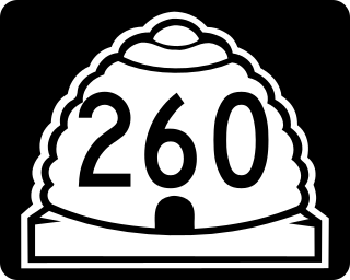
State Route 260 is a highway within Sevier County in central Utah that connects SR-24 to US-50 while passing through the town of Aurora in a span of four miles (6 km).
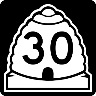
State Route 30 (SR-30) is a state highway in the U.S. state of Utah. It is the only highway signed as a Utah state route to traverse the entire width of the state. Legislatively the highway exists as 3 separate segments. With implied connections via Interstate 84 and U.S. Route 89, the highway is drivable as a continuous route from Nevada to Wyoming. The western segment is a historic corridor paralleling the pre-Lucin Cutoff routing of the First transcontinental railroad. A portion of the eastern segment has been designated the Bear Lake Scenic Byway as part of the Utah Scenic Byways program. The route was created in 1966 by combining several state highways into a single designation.

State Route 72 (SR-72) is a 35.393-mile-long (56.960 km) state highway in the U.S. state of Utah. The current alignment is an extension of SR-10. The highway provides access to Loa from Interstate 70 (I-70).
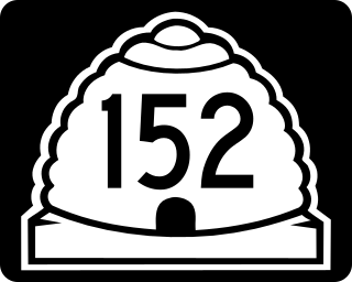
State Route 152 (SR-152) is a state highway in the suburbs of Salt Lake City, Utah connecting SR-71 in Murray to I-215 and city-maintained Highland Drive in Cottonwood Heights, though for almost all of its length it forms the border between Murray and Holladay. The route, which is 3.04 miles (4.89 km), is laid on the entire length of the Van Winkle Expressway and a portion of Highland Drive.

State Route 224 (SR-224) is a north–south state highway in the U.S. state of Utah. The route connects Interstate 80 and Kimball Junction in the north to Park City in the south. Ski resorts line the mostly four-lane highway, including Park City Resort and Deer Valley. The highway has changed paths many times since its formation in 1941, at one point connecting to Big Cottonwood Canyon and Salt Lake County. However, realignments brought the route to its present path by 1990.

State Route 7 (SR-7), also known as Southern Parkway, is a 26.1-mile (42.0 km) east-west state highway in southern Washington County in the extreme southwestern portion of the US state of Utah. It connects the southern periphery of St. George with Hurricane, while providing access to the St. George Regional Airport.

State Route 252 (SR-252) is a state highway that runs more than six miles in Cache County in the northern Utah city of Logan. The route goes from its southern terminus of US-89/US-91 and heads on a northerly path through the west side of Logan. The route's northern terminus is at US-91.

State Route 59 (SR-59) is a state highway in the U.S. state of Utah. The highway connects Hurricane to the twin cities of Hildale and Colorado City, Arizona. The highway connects to US-89A through Arizona State Route 389. The route was added to the state highway system in 1914, and has had several designations.

State Route 119 (SR-119) is a 8.753-mile-long (14.087 km) state highway in the U.S. state of Utah, connecting SR-119 in Richfield to SR-24 near Glenwood.
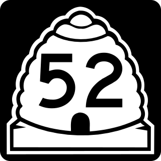
State Route 52 (SR-52) is a state highway in the U.S. state of Utah, connecting I-15 with US-189 along Orem's 800 North.

State Route 145 (SR-145), a majority of which is also known as Pioneer Crossing, is a 6.862-mile-long (11.043 km) west–east thoroughfare completely within Utah County in northern Utah that cuts through Saratoga Springs, Lehi, American Fork, and portions of unincorporated Utah County. The portion between Interstate 15 (I-15) and U.S. Route 89 (US-89) has been under state jurisdiction since 1978, while the roadway between SR-68 and I-15 opened in 2010. The road were extended from SR-68 to SR-73 in 2014. The road runs mostly parallel to and south of SR-73, which also connects to SR-68 and I-15. The original portion of the route between I-15 and US-89 is designated as Main Street in American Fork's street grid.
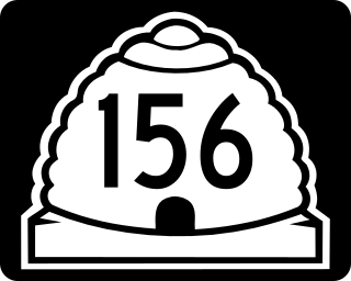
Utah State Route 156 (SR-156) is a state highway in the U.S. state of Utah. Spanning just 1.38 miles (2.22 km), it connects the city of Spanish Fork, via Main Street, with Interstate 15 on the north side of town.

State Route 194 (SR-194) is a state highway in northern Utah County, Utah, in the United States that runs along 2100 North in Lehi and connects SR-68 with Interstate 15 and U.S. Route 89. The route is a part of the greater Mountain View Corridor project.


