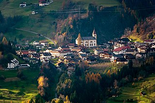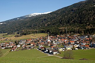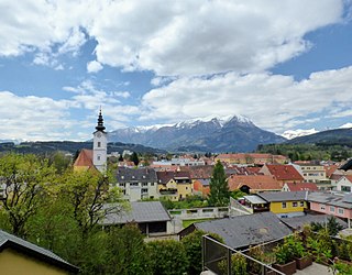
Wattens is a market town of the Innsbruck-Land District in the Austrian state of Tyrol. It is chiefly known as home of the Swarovski crystal glass company.

Rauris is a municipality in Salzburg (state) in the area of Pinzgau in Austria. There are about 3,150 inhabitants living in Rauris.

Marchtrenk is a municipality with about 12.500 inhabitants in the district Wels-Land in the province Upper Austria of the Republic of Austria. It is situated on the river Traun.

Rosegg is a town in the district of Villach-Land in Carinthia in Austria.

Treffen am Ossiacher See is a market town in the district of Villach-Land in Carinthia in south-central Austria.

Bad Deutsch-Altenburg, until 1928 Deutsch-Altenburg is a market town and spa in the district of Bruck an der Leitha in Lower Austria in Austria.

Annaberg is a town in the district of Lilienfeld in the Austrian state of Lower Austria.

Kirchberg am Wechsel is a town in the district of Neunkirchen in the Austrian state of Lower Austria. It is notable for hosting the International Wittgenstein Symposium since 1976 and is the home of the Austrian Ludwig Wittgenstein Society.

Iselsberg-Stronach is a municipality in the district of Lienz in Austrian state of Tyrol.

Grins is a municipality in the Landeck district in the Austrian state of Tyrol located 3.7 km west of Landeck and 18 km east of Sankt Anton am Arlberg. The village has 10 subdivisions. Settlement of the area already began 2000 years ago because of the sunny climate but the village was mentioned for the first time in documents in 1288 as „Grindes“.

Rinn is a municipality in the district of Innsbruck-Land in the Austrian state of Tyrol located 6 km southeast of Innsbruck. The village was mentioned in documents as “Runne” in 1250 for the first time.

Ehrwald is a municipality in the district of Reutte in the Austrian state of Tyrol.

Häselgehr is a municipality with 686 inhabitants in the district of Reutte in the Austrian state of Tyrol. The municipality is located in the district court Reutte. Since 2010, the community is a member of the Climate Alliance Tyrol.

Sautens is a municipality in the Imst district located 9 kilometres (6 mi) southeast of Imst on the lower course of the Ötztaler Ache. The village is located to catch the sun but is protected from the wind, which makes for an especially mild climate. The main source of income is agriculture. Fruit is especially important with a good part of the harvest used to make Schnapps.

Sankt Leonhard im Pitztal is a municipality in the Imst district, located 20 kilometres (12 mi) south of Imst on the upper course of the Pitze River in western Austria. The village covers a large area and has a length of around 25 kilometres (16 mi). It is one of the biggest communities of Tyrol by area.

Trofaiach is a municipality in the Leoben district of the state of Styria in Austria, the site of a post World War II British sector displaced persons camp. On 1 January 2013, it was merged with the neighbouring municipalities of Hafning bei Trofaiach and Gai. The municipality had 11,003 inhabitants on 1 January 2023.

St. Veit im Pongau is a market town in the St. Johann im Pongau district in the Austrian state of Salzburg. St. Veit is the first healthy climate spa town in Salzburg. Submontane to the "Hochglocker" there is the 1912 founded sanatorium. Author Thomas Bernhard was treated in there and he also wrote a book about his residence at the clinic.

Großriedenthal is a municipality in the district of Tulln in Lower Austria, Austria. The community consists of 3 districts: Großriedenthal, Ottenthal, and Neudegg. The mild climate and fertile soil allow the region to produce both fruity and full-bodied wines. Grossriedenthal is in the wine district of Lower Austria about 50 km northwest of Vienna which is around one hour by car.

Bad Wimsbach-Neydharting is a municipality in the district of Wels-Land in the Austrian state of Upper Austria.

Buch-Sankt Magdalena is a municipality in the district of Hartberg-Fürstenfeld in Styria, Austria. It was formed on 1 January 2013 by the merger of the former municipalities Sankt Magdalena am Lemberg and Buch-Geiseldorf.


