Demographic features of the population of Ghana include population density, ethnicity, education level, health of the populace, religious affiliations, and other aspects.

Demographics of Libya is the demography of Libya, specifically covering population density, ethnicity, education level, health of the populace, economic status, and religious affiliations, as well as other aspects of the Libyan population. The Libyan population resides in the country of Libya, a territory located on the Mediterranean coast of North Africa, to the west of and adjacent to Egypt. Libyans live in Tripoli. It is the capital of the country and first in terms of urban population, as well as Benghazi, Libya's second largest city.

Demographic features of the population of Malawi include population density, ethnicity, education level, health of the populace, economic status, religious affiliations and other aspects of the population.

The demographics of North Korea are determined through national censuses and international estimates. The Central Bureau of Statistics of North Korea conducted the most recent census in 2008, where the population reached 24 million inhabitants. The population density is 199.54 inhabitants per square kilometre, and the 2014 estimated life expectancy is 69.81 years. In 1980, the population rose at a near consistent, but low, rate. Since 2000, North Korea's birth rate has exceeded its death rate; the natural growth is positive. In terms of age structure, the population is dominated by the 15–64-year-old segment (68.09%). The median age of the population is 32.9 years, and the gender ratio is 0.95 males to 1.00 female. Since the early 1990s, the birth rate has been fairly stable, with an average of 2 children per woman, down from an average of 3 in the early 1980s.

The demographics of Sudan include the Sudanese people and their characteristics, Sudan, including population density, ethnicity, education level, health, economic status, religious affiliations, and other aspects of the population.

The demographics of Togo include ethnicity, population density, age, education level, health, economic status and religious affiliations.

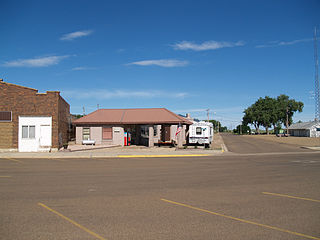
Hettinger is a city in, and the county seat of, Adams County, North Dakota, United States. The population was 1,074 at the 2020 census.

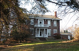
Elizabeth Township is a township in Allegheny County, Pennsylvania, United States. The population was 12,972 at the 2020 census. Elizabeth Township – along with Pitt, Plum, Versailles, St. Clair, Moon, and Mifflin – was one of the original seven townships of Allegheny County.

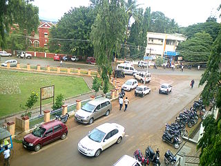
Chikmagalur, known officially as Chikkamagaluru, is a city and the headquarters of Chikmagalur district in the Indian state of Karnataka. Located on the foothills of the Mullayanagiri peak of the Western Ghats, the city attracts tourists from around the world for its pleasant and favourable hill station climate, tropical rainforest and coffee estates. The pristine Baba Budangiri lies to the north of Chikmagalur where it's believed Baba Budan first introduced coffee to India.

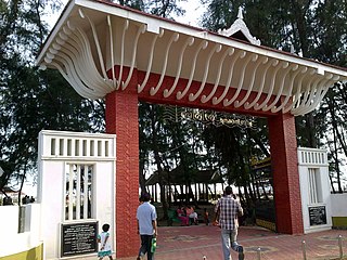
Azhikode is a coastal town and a suburb of Kannur city situated in Kannur district of Kerala, India. Azhikode town is divided into Azhikode North and Azhikode South. The northern end of the Azhikode North is called Azhikkal. The place is the birthplace of Sukumar Azhikode, an influential thinker and literary critic. It is about 7 km (4.3 mi) from Kannur city.

Udma is a census town in Kasaragod district in the Indian state of Kerala.
Jafarabad is a town and nagar panchayat in Jaunpur district in the Indian state of Uttar Pradesh.

Thiruvarur district is one of the 38 districts in the Tamil Nadu state of India. As of 2011, the district had a population of 1,264,277 with a sex-ratio of 1,017 females for every 1,000 males.

Karadka is a village, block panchayat and grama panchayat in Kasaragod district in the state of Kerala, India.
Muttil is a village in Wayanad district in the state of Kerala, India.

Shyampur I is a community development block that forms an administrative division in Uluberia subdivision of Howrah district in the Indian state of West Bengal.
Hejamadi or Hejamady is a village in the southern state of Karnataka, India.It is located on north banks of river Shambhavi, while Mulky is located on southern banks. There is an old road diverting from NH-66 leading to village. It is located in the Udupi taluk of Udupi district and 28 km north of Mangalore in Karnataka. Areas in Hejamady: Guddeyangadi, Shiv Nagar, Kannangar, Hejamady, Mattu Patna, Aache Mattu, Doddagundi, Sannagundi, Palimar, Kodi, Gundi, North Sultan Road, South Sultan Road, Maruthi Road and AmavaseKariya.
Madurantakam taluk is a taluk of Chengalpattu district of the Indian state of Tamil Nadu. The headquarters of the taluk is the town of Madurantakam. Madurantakam taluk is bounded by Chengalpattu taluk in north, Uthiramerur taluk of Kanchipuram district in West, Thirukklaukkundram Taluk in north east and Tindivanam lauk of Villupuram district in south.
Udayarpalayam taluk is a taluk of Ariyalur district of the Indian state of Tamil Nadu. The headquarters of the taluk is the town of Jayankondam.


