
Lansing is a city in Lansing Township, Allamakee County, Iowa, United States. The population was 999 at the 2010 census.
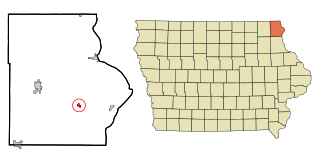
Waterville is a city in Paint Creek Township, Allamakee County, Iowa, United States. The population was 144 at the 2010 census.
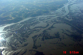
The Upper Iowa River is a 156-mile-long (251 km) tributary of the Mississippi River in the upper Midwest of the United States.

Paint Creek is a direct tributary of the Upper Mississippi River, rising in central Allamakee County, Iowa, in and about the city of Waukon. The catchment measures approximately 85.5 square miles (221 km2). It has some still-rural stretches past 9th Street Southwest in Waukon, but most of the actual Waukon portions have been culverted. It joins the Mississippi approximately 6 miles (9.7 km) above Marquette, Iowa in Pool 10, near river mile 641.
Clear Creek is a minor tributary of the Upper Mississippi River entirely contained within Allamakee County, Iowa. It enters the Mississippi into Navigation Pool 9 through the city of Lansing, Iowa. Iowa Highway 9 runs through its canyon. It has been restored as fishing stream for brown trout. The stream gives its name to Clear Creek Park in Lansing.

Wexford Creek is a very minor tributary of the Upper Mississippi River, confined entirely to Lafayette Township in Allamakee County, Iowa. Its drainage area measures 11.9 square miles (31 km2). It enters the river into Lake Winneshiek opposite Lynxville, Wisconsin. The area is entirely rural, with some cleared farmland, but is mostly forested.

Cota Creek is a very minor tributary of the Upper Mississippi River. It is confined mainly to Taylor Township in Allamakee County, Iowa, United States. It joins the river at Harpers Ferry, downstream from Lock and Dam No. 9.

Norfolk Creek is a tributary of the Yellow River in Iowa. 8.9 miles (14.3 km) in length, it rises just to the west of the city of Waukon in Union Prairie and Ludlow townships. It joins the Yellow River in Jefferson Township, Allamakee County. It courses through entirely rural countryside, much of it forested. The original name of this creek was North Fork of the Yellow River. North Fork was later corrupted in usage to Norfolk.

Waterloo Creek is a 9.7-mile-long (15.6 km) tributary of the Upper Iowa River, with a watershed covering 48.3 square miles (125 km2). It rises as Bee Creek in Houston County, Minnesota, southwest of the city of Spring Grove, flowing generally in a southeasterly direction, crossing into Waterloo Township in Allamakee County, Iowa, where it becomes Waterloo Creek and takes a generally north-south route to its confluence with Bear Creek, just before entering the Upper Iowa River. Iowa Highway 76 parallels the stream until crossing the river. The town of Dorchester, Iowa is the only settlement alongside it.

Canoe Creek is a 33.2-mile-long (53.4 km) tributary of the Upper Iowa River. It rises in Burr Oak Township in Winneshiek County, Iowa. North Canoe Creek rises in Hesper Township, meeting the main stream in Canoe Township. Canoe Creek continues through Pleasant Township to enter the Upper Iowa just into Allamakee County in Hanover Township, in the state-maintained Canoe Creek Wildlife Management Area.

Bear Creek is an 11.9-mile-long (19.2 km) tributary of the Upper Iowa River, joining Waterloo Creek for a short distance before entering the Upper Iowa in Waterloo Township just east of where Iowa Highway 76 crosses the river. Its branches are acclaimed trout fishing streams.
Bear Creek, also known as Bear Hollow Creek, is a 6.3-mile-long (10.1 km) tributary of the Yellow River of Iowa, originating in Jefferson Township, near Rossville in Allamakee County. It parallels Allamakee County Road X26. It enters the Yellow River near Volney, approximately where the state of Iowa maintains the Yellow River Valley Canoe and Heritage Trail in Allamakee County.

Center Township is one of eighteen townships in Allamakee County, Iowa, USA. At the 2010 census, its population was 329.

French Creek Township is one of eighteen townships in Allamakee County, Iowa, USA. At the 2010 census, its population was 225.
Lafayette Township is one of eighteen townships in Allamakee County, Iowa, USA. At the 2010 census, its population was 421.

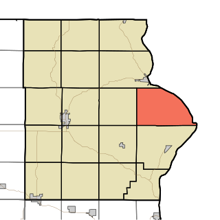
Paint Creek Township is one of eighteen townships in Allamakee County, Iowa, USA. At the 2010 census, its population was 544.

Union City Township is one of eighteen townships in Allamakee County, Iowa, USA. At the 2010 census, its population was 219.
French Creek is a 9.6-mile-long (15.4 km) northward-flowing tributary of the Upper Iowa River, near the latter's confluence with the Mississippi River. It is located in French Creek Township, Allamakee County, Iowa.


