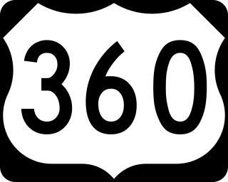
U.S. Route 360 is a spur route of US 60. The U.S. Highway runs 225.3 miles (362.6 km), entirely within the state of Virginia, from US 58 Business, Virginia State Route 293, and SR 360 in Danville east to SR 644 in Reedville. US 360 connects Danville, South Boston, Keysville and Burkeville in Southside Virginia with the state capital of Richmond. The highway connects Richmond with Tappahannock on the Middle Peninsula and the eastern Northern Neck, where it serves as the primary route through Northumberland County. US 360 is a four-lane divided highway for almost all of its length.
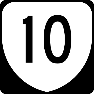
State Route 10 is a primary state highway in the U.S. state of Virginia. The state highway runs 93.58 miles (150.60 km) from U.S. Route 360 in Richmond east to SR 337 in Suffolk. SR 10 is a major suburban highway through Chesterfield County between the Southside of Richmond and Hopewell. Between Hopewell and Smithfield, which is served by SR 10 Business, the state highway passes through rural Prince George, Surry, and Isle of Wight counties, following the route of an old stagecoach road through an area that features many of the preserved James River plantations. SR 10 runs concurrently with US 258 and SR 32 between Smithfield and Suffolk.
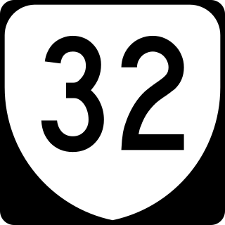
State Route 32 is a primary state highway in the U.S. state of Virginia. The state highway runs 38.89 miles (62.59 km) from the North Carolina state line in Suffolk north to U.S. Route 17, US 258, and SR 143 in Newport News. The southernmost part of SR 32 connects Suffolk with the Albemarle Region of North Carolina via North Carolina Highway 32. The remainder of SR 32 runs concurrently with at least one other state or U.S. Highway between Suffolk and Newport News, including US 13, SR 10, US 258, and US 17. The last two highways run together with SR 32 on the James River Bridge.

State Route 147 is a primary state highway in the U.S. state of Virginia. The state highway runs 13.13 miles (21.13 km) from U.S. Route 60 in Midlothian east to US 60 in Richmond. In various places, it is known as Huguenot Road, River Road, Cary Street Road and Main Street. SR 147 connects Midlothian with the West End of Richmond via the Huguenot Memorial Bridge across the James River. Within Richmond, the state highway follows Cary Street, a major thoroughfare that connects the city's two major universities, the University of Richmond and Virginia Commonwealth University, with Downtown Richmond.

State Route 30 is a primary state highway in the U.S. state of Virginia. The state highway runs 61.87 miles (99.57 km) from U.S. Route 1 in Doswell east to Interstate 64 (I-64) and SR 607 near Norge. SR 30 runs east–west through Hanover and Caroline Counties, connecting US 1 and I-95 with the Kings Dominion amusement park and US 301. The state highway serves as the principal highway of King William County, connecting U.S. Route 360 with SR 33 in West Point via the county's namesake county seat. SR 30 also connects SR 33 and US 60 in New Kent and James City Counties.

U.S. Route 13 (US 13) is a north–south United States Numbered Highway established in 1926 that runs for 518 miles (834 km) from Interstate 95 (I-95) just north of Fayetteville, North Carolina, north to US 1 in Morrisville, Pennsylvania, a northeastern suburb of Philadelphia. In the U.S. state of Virginia, US 13 runs north–south through the Hampton Roads and Eastern Shore regions of the state, using the Chesapeake Bay Bridge–Tunnel to get between the two. In the Hampton Roads area, it uses Military Highway to bypass the city centers. It is most usually a four-lane highway, sometimes up to freeway or expressway standards with controlled access.

State Route 35 is a primary state highway in the U.S. state of Virginia. The state highway runs 48.71 miles (78.39 km) from the North Carolina state line near Boykins, where the highway continues as North Carolina Highway 35, north to SR 605 and SR 622 in Templeton. SR 35 is the main north–south highway of Southampton County; the highway also connects U.S. Route 58 in Courtland with Interstate 95 (I-95) and US 301 at Templeton south of Petersburg.
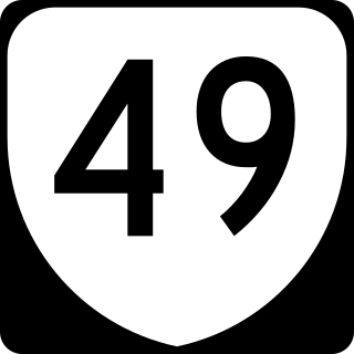
State Route 49 is a primary state highway in the U.S. state of Virginia. The state highway runs 69.01 miles (111.06 km) from the North Carolina state line in Virgilina, Virginia in Halifax County, where the highway continues south as North Carolina Highway 49, north to U.S. Route 360 near Burkeville in Nottoway County. SR 49 passes through Southside Virginia, connecting Virgilina and Burkeville with Clarksville and Chase City in Mecklenburg County, Victoria in Lunenburg County, and Crewe in Nottoway County. Via US 360, the state highway connects Richmond with the John H. Kerr Reservoir.

State Route 145 is a primary state highway in the U.S. state of Virginia. The state highway runs 5.18 miles (8.34 km) from SR 10 in Chesterfield east to U.S. Route 1 and US 301 in Bellwood in eastern Chesterfield County.

State Route 126 is a primary state highway in the U.S. state of Virginia. Known as Fairgrounds Road, the state highway runs 1.38 miles (2.22 km) from SR 179 in Onancock east to U.S. Route 13 Business and SR 316 at Tasley.

State Route 175 (SR 175) is a primary state highway in the U.S. state of Virginia. Known as Chincoteague Road, the state highway runs 10.49 miles (16.88 km) from U.S. Route 13 (US 13) at Nash Corner east to Main Street in Chincoteague. SR 175 passes through the northeastern corner of Accomack County, providing the primary access to NASA's Wallops Flight Facility and both Chincoteague Island and the Virginia portion of Assateague Island. The route travels between the mainland and Chincoteague Island along the John B. Whealton Memorial Causeway.

State Route 176 is a primary state highway in the U.S. state of Virginia. Known for most of its length as Parksley Road, the state highway runs 2.58 miles (4.15 km) from SR 316 in Parksley east to U.S. Route 13 at Centerville in central Accomack County.

State Route 178 is a primary state highway in the U.S. state of Virginia. The state highway runs 11.51 miles (18.52 km) from U.S. Route 13 Business in Exmore north to SR 620, SR 628, and SR 718 at Bobtown. SR 178 connects Exmore in far northern Northampton County with Belle Haven and Pungoteague in southern Accomack County.

State Route 179 is a primary state highway in the U.S. state of Virginia. The state highway runs 2.94 miles (4.73 km) from SR 1023 in Onancock east to U.S. Route 13 Business in Onley in central Accomack County.

State Route 180 is a primary state highway in the U.S. state of Virginia. The state highway runs 11.25 miles (18.11 km) from a dead end in Harborton east to SR 1701 in Wachapreague. SR 180 is a cross-peninsula highway in southern Accomack County that passes through Pungoteague and Keller, the latter location where the highway meets U.S. Route 13.
State Route 187 is a primary state highway in the U.S. state of Virginia. The state highway runs 5.43 miles (8.74 km) from SR 658 at Guilford east to SR 679 in Modest Town. SR 187 connects U.S. Route 13 with Bloxom in northern Accomack County.

State Route 316 is a primary state highway in the U.S. state of Virginia. The state highway runs 9.49 miles (15.27 km) from U.S. Route 13 Business at Tasley north to SR 187 in Bloxom. SR 316 parallels an inactive railroad line as it connects the central Accomack County towns of Accomac, Onley, and Onancock with the northern county towns of Parksley, Bloxom, and Hallwood.

State Route 184 is a primary state highway in the U.S. state of Virginia. The state highway runs 3.20 miles (5.15 km) from Washington Avenue and Bay Street in Cape Charles east to U.S. Route 13 and US 13 Business near Bayview. SR 184 connects US 13 with Cape Charles in southern Northampton County. The state highway is the old alignment of US 13 from when the U.S. highway used the Little Creek-Cape Charles Ferry to cross the Chesapeake Bay to Norfolk. SR 184 was designated after US 13 was extended south to the new terminal of the Little Creek Ferry at Kiptopeke and later the Chesapeake Bay Bridge-Tunnel.
State Route 208 is a primary state highway in the U.S. state of Virginia. The state highway runs 47.35 miles (76.20 km) from U.S. Route 250 at Ferncliff east to US 1 and US 1 Business at Four Mile Fork. SR 208 is a major southwest–northeast highway through Louisa and Spotsylvania counties. The state highway connects the counties' respective seats of Louisa and Spotsylvania Courthouse, where the old route of the highway is SR 208 Business, with each other and with Fredericksburg near the highway's eastern terminus. SR 208 also has a direct connection with Interstate 64 (I-64) at Ferncliff and an indirect connection to I-95 near Fredericksburg.


