Ward Township | |
|---|---|
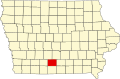
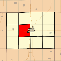 Location in Clarke County | |
| Coordinates: 41°01′28″N093°50′28″W / 41.02444°N 93.84111°W | |
| Country | |
| State | |
| County | Clarke |
| Area | |
• Total | 32.92 sq mi (85.27 km2) |
| • Land | 32.77 sq mi (84.88 km2) |
| • Water | 0.15 sq mi (0.38 km2) 0.45% |
| Elevation | 1,142 ft (348 m) |
| Population (2000) | |
• Total | 228 |
| • Density | 7.0/sq mi (2.7/km2) |
| GNIS feature ID | 0468892 |
Ward Township is a township in Clarke County, Iowa, USA. As of the 2000 census, its population was 228.