
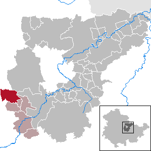
Bodenrode-Westhausen is a municipality in the district of Eichsfeld in Thuringia, Germany.
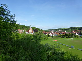
Geisleden is a municipality in the district of Eichsfeld in Thuringia, Germany. It is located about 4 kilometres (2.5 mi) southeast of Heiligenstadt in the valley formed by the river Geislede. Other neighboring towns are Westhausen in the north, Kreuzebra to the east, and Heuthen toward the southeast.
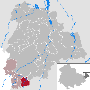
Thonhausen is a municipality in the district of Altenburger Land in Thuringia, Germany. It belongs to the Verwaltungsgemeinschaft of Oberes Sprottental.
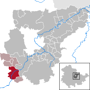
Kranichfeld is a town in the Weimarer Land district, in Thuringia. It is situated on the river Ilm, 18 km southeast of Erfurt, and 16 km southwest of Weimar.

Ummerstadt is a town in the region Heldburger Land in district of Hildburghausen, in Thuringia, Germany. It is situated 19 km south of Hildburghausen, and 11 km west of Coburg.

Ettersburg is a municipality in the Weimarer Land district of Thuringia, Germany.
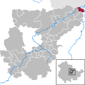
Großheringen is a municipality in the Weimarer Land district of Thuringia, Germany.

Frankendorf is a municipality in the Weimarer Land district of Thuringia, Germany.
Klettbach is a municipality in the Weimarer Land district of Thuringia, Germany.
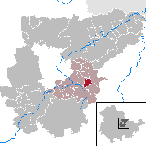
Kleinschwabhausen is a municipality in the Weimarer Land district of Thuringia, Germany.

Oettern is a municipality in the Weimarer Land district of Thuringia, Germany.

Rittersdorf is a municipality in the Weimarer Land district of Thuringia, Germany.
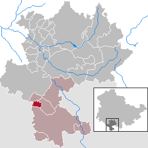
Schlechtsart is a municipality in the region Heldburger Land in the district of Hildburghausen, in Thuringia, Germany.

Schweickershausen is a municipality in the region Heldburger Land in the district of Hildburghausen, in Thuringia, Germany.
Heldburger Unterland is a Verwaltungsgemeinschaft in the district of Hildburghausen, in Thuringia, Germany. The seat of the Verwaltungsgemeinschaft is in Heldburg.

The Heldburger Land was the historical, Saxon, administrative district (Amtsbezirk) of Heldburg and is today the southernmost part of the Free State of Thuringia and the district of Hildburghausen, between the towns of Coburg, Hildburghausen and Bad Königshofen. The region known now as the Heldburger Land is referred to administratively as the Heldburger Unterland, and sometimes in the vernacular as the Heldburger Zipfel.
Jodok Mörlin, also known in Latin as Jodocus Morlinus or Maurus, was a Professor of Philosophy at the University of Wittenberg, the Lutheran pastor of Westhausen bei Hildburghausen, and a Reformer. He is famed as one of the first witnesses, allies and participants of the Reformation and as the father of two Lutheran theologians, Joachim Mörlin and Maximilian Mörlin.

Nessetal is a municipality in the district of Gotha, in Thuringia, Germany. It was created with effect from 1 January 2019 by the merger of the former municipalities of Ballstädt, Brüheim, Bufleben, Friedrichswerth, Goldbach, Haina, Hochheim, Remstädt, Wangenheim, Warza and Westhausen. These former municipalities are now Ortschaften of the municipality Nessetal. The name refers to the river Nesse.
Eichsfeld I is an electoral constituency represented in the Landtag of Thuringia. It elects one member via first-past-the-post voting. Under the current constituency numbering system, it is designated as constituency 1. It comprises the western part of the district of Eichsfeld, including its capital Heilbad Heiligenstadt.
Hildburghausen I – Schmalkalden-Meiningen III is an electoral constituency represented in the Landtag of Thuringia. It elects one member via first-past-the-post voting. Under the current constituency numbering system, it is designated as constituency 18. It covers the western part of Hildburghausen district and part of southern Schmalkalden-Meiningen.


