Wezup | |
|---|---|
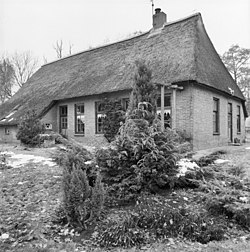 Farm in Wezup | |
 Wezup  Wezup | |
| Coordinates: 52°48′43″N6°43′9″E / 52.81194°N 6.71917°E | |
| Country | Netherlands |
| Province | Drenthe |
| Municipality | Coevorden |
| Area | |
• Total | 0.68 km2 (0.26 sq mi) |
| Elevation | 18 m (59 ft) |
| Population (2021) [1] | |
• Total | 170 |
| • Density | 250/km2 (650/sq mi) |
| Time zone | UTC+1 (CET) |
| • Summer (DST) | UTC+2 (CEST) |
| Postal code | 7852 [1] |
| Dialing code | 0591 |
| Website | wezup.info |
Wezup is a village in the Netherlands that is a part of the Coevorden municipality in Drenthe. [3] North of Wezup is Wezuperbrug and to the east is Zweeloo.
Wezup is an esdorp which was first mentioned in 1284 as Wesepe, and means "brook through the meadow". [4] [5] In 1488, it became a boermarke, a communal and private land which was autonomous. [6] In 1840, it was home to 168 people. [5]