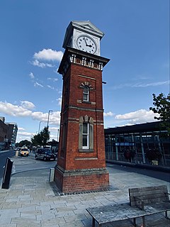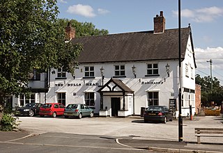
Altrincham is a market town in Trafford, Greater Manchester, England, south of the River Mersey. It is 8 miles (13 km) southwest of Manchester city centre, 3 miles (5 km) southwest of Sale and 10 miles (16 km) east of Warrington. At the 2011 Census, it had a population of 52,419.

Trafford is a metropolitan borough of Greater Manchester, England, with an estimated population of 235,493 in 2017. It covers 41 square miles (106 km2) and includes the area of Old Trafford and the towns of Altrincham, Stretford, Urmston, Partington and Sale. The borough was formed in 1974 as a merger of the municipal boroughs of Timperley, Sale, and Stretford, the urban districts of Bowdon, Hale and Urmston and part of Bucklow Rural District. The River Mersey flows through the borough, separating North Trafford from South Trafford, and the historic counties of Lancashire and Cheshire.

Sale is a town in Trafford, Greater Manchester, England. Located in the historic county of Cheshire on the south bank of the River Mersey, 2 miles (3.2 km) south of Stretford, 3 miles (4.8 km) northeast of Altrincham, and 5 miles (8.0 km) southwest of Manchester. In 2011, it had a population of 134,022, making it the largest town by population in Trafford.

The Trafford Centre is a large indoor shopping centre and leisure complex in Greater Manchester, England. Located in Urmston in the Metropolitan Borough of Trafford, the centre is within the Trafford Park industrial estate, five miles west of Manchester city centre.

Stretford is a market town in Trafford, Greater Manchester, England, on flat ground between the River Mersey and the Manchester Ship Canal, 3.8 miles (6.1 km) south of Manchester city centre, 3.0 miles (4.8 km) south of Salford and 4.2 miles (6.8 km) northeast of Altrincham. Stretford borders Chorlton-cum-Hardy to the east, Moss Side and Whalley Range to the southeast, Hulme to the northeast, Urmston to the west, Salford to the north, and Sale to the south. The Bridgewater Canal bisects the town.

Wythenshawe is a district in the city of Manchester, Greater Manchester, England. Historically in Cheshire, Wythenshawe was transferred in 1931 to the City of Manchester, which had begun building a massive housing estate there in the 1920s. With an area of approximately 11 square miles (28 km2), Wythenshawe became the largest council estate in Europe.

Urmston is a town in Trafford, Greater Manchester, England, which had a population of 41,825 at the 2011 Census. Historically in Lancashire, it is 5 miles (8 km) southwest of Manchester city centre. The southern boundary is the River Mersey, with Stretford lying to the east and Flixton to the west. Davyhulme lies to the north of the town centre. Urmston covers an area of 4,799 acres (19 km2).

Altrincham and Sale West is a constituency in Greater Manchester. It has been represented since its 1997 creation by Sir Graham Brady, a member of the Conservative Party.

Hale Barns is a village near Altrincham in Greater Manchester, England, 7 miles (11 km) south-west of Manchester city centre, 2 miles west of Manchester Airport and close to the River Bollin. At the 2011 census, the village had a population of 9,736.

Partington is a town and civil parish in the Metropolitan Borough of Trafford, Greater Manchester, England, ten miles (16 km) south-west of Manchester city centre. Within the boundaries of the historic county of Cheshire, it lies on the southern bank of the Manchester Ship Canal, opposite Cadishead on the northern bank. It has a population of 7,327.

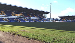
Field Mill, currently known as One Call Stadium for sponsorship reasons, is a football ground in Mansfield, Nottinghamshire, England, and the home of Mansfield Town Football Club.

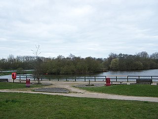
Sale Water Park is a 152-acre (62 ha) area of countryside and parkland including a 52-acre (21 ha) artificial lake in the Metropolitan Borough of Trafford in Greater Manchester, England. Opened in 1979 and owned by Trafford council, the water park lies in an area of the green belt running through the Mersey river valley between Sale and Stretford, located between the river and the M60 motorway. The lake was formed in the 1970s by the flooding of a gravel pit excavated to provide material for the construction of an embankment raising the motorway 34 feet (10 m) above the Mersey's floodplain. The pit was excavated to a depth of around 115 feet (35 m), making the lake about 90 feet (27 m) deep in places.

Altrincham Grammar School for Boys is a boys' grammar school in Altrincham, Greater Manchester, England.

Trafford Park is an area of the Metropolitan Borough of Trafford, Greater Manchester, England, opposite Salford Quays on the southern side of the Manchester Ship Canal, 3.4 miles (5.5 km) southwest of Manchester city centre and 1.3 miles (2.1 km) north of Stretford. Until the late 19th century, it was the ancestral home of the Trafford family, who sold it to financier Ernest Terah Hooley in 1896. Occupying an area of 4.7 square miles (12 km2), it was the first planned industrial estate in the world, and remains the largest in Europe well over a century later.

Kincraig Lake Ecological Reserve is a wildlife reserve located in Bispham in Blackpool on the Fylde coast, Lancashire, England. It is owned by Blackpool Council.

Wellacre Academy is an 11–16 boys, secondary school with academy status in Flixton, Greater Manchester, England. It was formerly a foundation school that was established in 1955 and adopted its present name after becoming an academy in 2011.

Broadheath is an electoral ward of Trafford, Greater Manchester, England, covering the Broadheath area of Altrincham, part of Timperley, and a small part of Sale.

Brooklands is an electoral ward of Trafford, Greater Manchester, covering the south-east of the town of Sale, including most of the Brooklands, Sale area. It is represented in Westminster by Mike Kane MP for Wythenshawe and Sale East The 2011 Census recorded a population of 10,434.

Sale Moor is an electoral ward of Trafford, Greater Manchester, covering the eastern part of Sale, including Sale Moor Village.


