Basirhat district

Last updated
Basirhat
West Bengal location map.svg
Red pog.svg
Basirhat
Location in West Bengal, India
Coordinates: 22°40′N88°53′E / 22.66°N 88.89°E / 22.66; 88.89
CountryFlag of India.svg  India
State West Bengal
Headquarters Basirhat
Languages
  Official Bengali, English
Time zone UTC+5:30 (IST)
ISO 3166 code ISO 3166-2:IN

Basirhat district [1] is a proposed border district of West Bengal state. [2] Basirhat subdivision of North 24 Parganas district will be formed separately in Basirhat district. The main river of basirhat district is Ichamati river. The headquarters of this district is Basirhat. There are three municipalities in the district: Basirhat, Baduria and Taki. Being a police and health district already, the proposed district may be renamed. [3]

Contents

History

On 1 August 2022, Chief Minister of West Bengal Mamata Banerjee declared the creation of a new district consisting of Basirhat subdivision carving out from North 24 Parganas district. [4]

Area

Apart from the municipalities of Basirhat, Baduria and Taki, the district contains one census town and rural areas of 90 gram panchayats under ten community development blocks: Baduria, BasirhatI, BasirhatII, Haroa, Hasnabad, Hingalganj, Minakhan, SandeshkhaliI and SandeshkhaliII and Swarupnagar. [5] The only census town is: Dhanyakuria. [6] According to a proposal that was brought by the government of West Bengal, Basirhat district is supposed to be composed of two sub-divisions. The two subdivisions were to be headquartered at Basirhat and Hasnabad. The Basirhat subdivision would comprise four CD blocks, namely Basirhat 1 & Basirhat 2, Baduria and Swarupnagar. The Hasnabad subdivision would consist of six CD blocks - Haroa, Minakhan, Sandeshkhali 1 & Sandeshkhali 2, Hasnabad and Hingalganj [7] [ better source needed ]

Related Research Articles

<span class="mw-page-title-main">North 24 Parganas district</span> District in West Bengal, India

North 24 Parganas (abv. 24 PGS (N)) or sometimes North Twenty Four Parganas is a district in southern West Bengal, of eastern India. North 24 Parganas extends in the tropical zone from latitude 22° 11′ 6″ north to 23° 15′ 2″ north and from longitude 88º20' east to 89º5' east. Barasat is the district headquarters of North 24 Parganas. North 24 Parganas is West Bengal's most populous district and also (since 2014) the most populated district in the whole of India. It is the tenth-largest district in the State by area.
<span class="mw-page-title-main">Habra</span> City in West Bengal, India

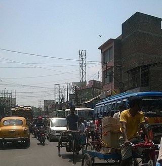
Habra is a city and a municipality under Barasat sadar subdivision in North 24 Parganas district of the Indian state of West Bengal. It is situated on the Jessore Road between Kolkata and the Bangladesh border at Petrapole. Its location makes it an important town for export and import of goods between India and Bangladesh.
<span class="mw-page-title-main">Hasnabad (community development block)</span> Community development block in West Bengal, India

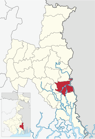
Hasnabad is a community development block that forms an administrative division in Basirhat subdivision of North 24 Parganas district in the Indian state of West Bengal.

<span class="mw-page-title-main">Sandeshkhali I</span> Community development block in West Bengal, India

Sandeshkhali I is a community development block that forms an administrative division in Basirhat subdivision of North 24 Parganas district in the Indian state of West Bengal.

<span class="mw-page-title-main">Basirhat subdivision</span> Subdivision in West Bengal, India

Basirhat subdivision is an administrative subdivision of the North 24 Parganas district in the Indian state of West Bengal.

<span class="mw-page-title-main">Hingalganj</span> Community development block in West Bengal, India

Hingalganj is a community development block that forms an administrative division in Basirhat subdivision of North 24 Parganas district in the Indian state of West Bengal.

<span class="mw-page-title-main">Swarupnagar</span> Community development block in West Bengal, India

Swarupnagar is a community development block that forms an administrative division in Basirhat subdivision of North 24 Parganas district in the Indian state of West Bengal.

<span class="mw-page-title-main">Minakhan</span> Community development block in West Bengal, India

Minakhan is a community development block that forms an administrative division in Basirhat subdivision of North 24 Parganas district in the Indian state of West Bengal.

<span class="mw-page-title-main">Haroa (community development block)</span> Community development block in West Bengal, India

Haroa is a community development block that forms an administrative division in Basirhat subdivision of North 24 Parganas district in the Indian state of West Bengal.

<span class="mw-page-title-main">2011 West Bengal Legislative Assembly election</span> Indian state election

Assembly election was held in Indian state of West Bengal in 2011 to elect the members of West Bengal Legislative Assembly as the term of the incumbent government was about to expire naturally. The election was held in six phases between 18 April and 10 May 2011 for all the 294 seats of the Assembly.
<span class="mw-page-title-main">Baduria (community development block)</span> Community development block in West Bengal, India

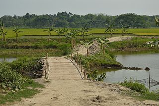
Baduria is a community development block that forms an administrative division in Basirhat subdivision of North 24 Parganas district in the Indian state of West Bengal.

<span class="mw-page-title-main">Basirhat I</span> Community development block in West Bengal, India

Basirhat I is a community development block that forms an administrative division in Basirhat subdivision of North 24 Parganas district in the Indian state of West Bengal.

<span class="mw-page-title-main">Basirhat II</span> Community development block in West Bengal, India

Basirhat II is a community development block that forms an administrative division in Basirhat subdivision of North 24 Parganas district in the Indian state of West Bengal.

Hasnabad is a village and a gram panchayat in the Hasnabad CD block in the Hasnabad subdivision of the North 24 Parganas district in the state of West Bengal, India.Hasnabad is called the' Second Gateway of Sunderban'.
<span class="mw-page-title-main">Sandeshkhali II</span> Community development block in West Bengal, India

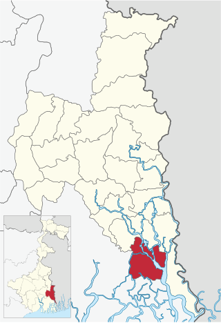
Sandeshkhali-II is a community development block that forms an administrative division in Basirhat subdivision of North 24 Parganas district in the Indian state of West Bengal.

Nayagram is a village and a gram panchayat in the Nayagram CD block in the Jhargram subdivision of the Jhargram district in West Bengal, India.

Kholapota is a village and a gram panchayat in Basirhat II CD Block in Basirhat subdivision of North 24 Parganas district, West Bengal in India. It belongs to the Presidency division.

<span class="mw-page-title-main">Paschim Bardhaman district</span> District of West Bengal in India

Paschim Bardhaman district is a predominantly urban mining-industrial district in West Bengal. The headquarter of the district is Asansol. It was formed on 7 April 2017 after bifurcation of the erstwhile Bardhaman district as the 23rd district of West Bengal.

Baduria riot refers to incidents of communal violence between Hindus and Muslims in the Baduria town in Basirhat subdivision of the North 24 Parganas district of West Bengal state of India.

Hingalganj is a census town in the Hingalganj CD block in the Basirhat subdivision of the North 24 Parganas district in the state of West Bengal, India.

References

  1. "5 New district to be formed in West Bengal".[ permanent dead link ]
  2. "Basirhat, Jhargram, Alipurduar, Asansol-durgapur, new district bengal".
  3. Suman Chakraborti (Aug 2, 2022). "West Bengal New District: West Bengal to have 7 new districts in six months for better administration | Kolkata News - Times of India". The Times of India. Retrieved 2022-08-07.
  4. "West Bengal To Get 7 New Districts, Announces Mamata Banerjee". NDTV.com. Retrieved 2 August 2022.
  5. "Directory of District, Sub division, Panchayat Samiti/ Block and Gram Panchayats in West Bengal, March 2008". West Bengal. National Informatics Centre, India. 2008-03-19. Archived from the original on 2009-02-25. Retrieved 2008-12-25.
  6. "District Wise List of Statutory Towns( Municipal Corporation, Municipality, Notified Area and Cantonment Board), Census Towns and Outgrowths, West Bengal, 2001". Census of India, Directorate of Census Operations, West Bengal. Archived from the original on 2011-07-21. Retrieved 2008-12-25.
  7. "5 Basirhat Jhargram Alipurduar & Asansol-Durgapur - New District of Bengal".