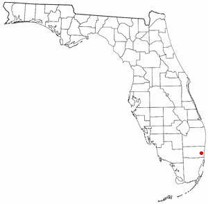
Broadview Park is a census-designated place (CDP) in Broward County, Florida, United States. The population was 7,670 at the 2020 census.
Haynesville is a town in Aroostook County, Maine, United States. The population was 97 at the 2020 census.

Orient is a town in Aroostook County, Maine, United States. The population was 156 at the 2020 census.

Westfield is a town in Aroostook County, Maine, United States. The population was 455 at the 2020 census.
Weston is a town in Aroostook County, Maine, United States. The population was 245 at the 2020 census.
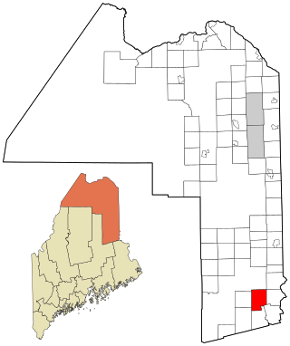
Alexander is a town in Washington County, Maine, United States. The population was 525 at the 2020 census. The town is named for Alexander Baring, 1st Baron Ashburton, the British negotiator of the Webster–Ashburton Treaty which ended the Aroostook War in 1838–1839.
Cooper is a town in Washington County, Maine, United States. The community was named after General John Cooper, a landowner. The population was 168 at the 2020 census.
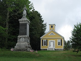
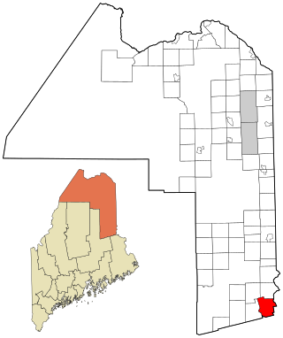
Dennysville is a town in Washington County, Maine, United States. The population was 300 at the 2020 census.
Meddybemps is a town in Washington County, Maine, United States. The population was 139 at the 2020 census.
Northfield is a town in Washington County, Maine, United States. The population was 178 at the 2020 census.
Princeton is a town in Washington County, Maine, United States. The town was named after Princeton, Massachusetts. The population was 745 at the 2020 census.
Roque Bluffs is a town in Washington County, Maine, United States. The population was 296 at the 2020 census. The town is home to Roque Bluffs State Park.
Wesley is a town in Washington County, Maine, United States. The town was named after John Wesley, founder of the English Methodist movement. The population was 122 at the 2020 census.

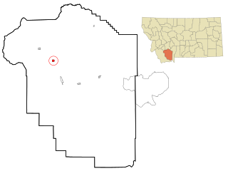
Grass Range is a town in Fergus County, Montana, United States. The population was 110 in both the 2010 census and 2020 census.

Winifred is a small town in rural north-central Fergus County, Montana, United States. It was founded in 1913 and provides services for its region's populace. The town population was 172 at the 2020 census. The current mayor is Travis Willson.
Sheridan is a town in Madison County, Montana, United States named after the Civil War general Philip Sheridan. The population was 694 at the 2020 census. Sheridan is known as the "heart of the Ruby Valley." Seven mountain ranges surround the town: Tobacco Root Mountains, Highland Mountains, McCartney Mountain, The Pioneers, The Ruby Range, The Gravelly Range and the Snowcrest Range. The Ruby River winds through the valley just west of the town.

Brockton is a census-designated place and former town in Roosevelt County, Montana, United States. The population was 358 at the 2020 census.
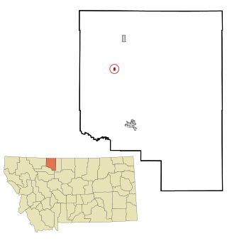
Kevin is a town in Toole County, Montana, United States. The population was 154 at the 2020 census, equal to the 2010 Census population. The town was named after Thomas Kevin, superintendent of the Alberta Railway & Irrigation Company. Locals pronounce Kevin with a long E, like Keevin.

Nashua is a town in Valley County, Montana, United States. The population was 301 at the 2020 census.

Montana is a town in Buffalo County in the U.S. state of Wisconsin. The population was 284 at the 2010 census. The unincorporated community of Montana is located in the town.


