Monroe or Monroes may refer to:

Monroe County is a county on the northeast border of the U.S. state of Mississippi next to Alabama. As of the 2020 census, the population was 34,180. Its county seat is Aberdeen.

Lee County is a county in U.S. state of Mississippi. At the 2020 census, the population was 83,343. Lee County is included in the Tupelo Micropolitan Statistical Area.

Leake County is a county in the center of the U.S. state of Mississippi. As of the 2020 census, the population was 21,275. Its county seat is Carthage. The county is named for Walter Leake, the Governor of Mississippi from 1822 to 1825.

Monroe County is a county located in the U.S. state of Illinois. According to the 2020 census, it had a population of 34,962. Its county seat and largest city is Waterloo.
Monroe County is located in the Arkansas Delta in the U.S. state of Arkansas. The county is named for James Monroe, the fifth President of the United States. Created as Arkansas's 20th county on November 2, 1829, Monroe County is home to two incorporated towns and three incorporated cities, including Clarendon, the county seat, and Brinkley, the most populous city. The county is also the site of numerous unincorporated communities and ghost towns.

Ouachita Parish is located in the northern part of the U.S. state of Louisiana. As of the 2020 census, the population was 160,368. The parish seat is Monroe. The parish was formed in 1807.
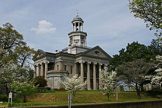
Vicksburg is a historic city in Warren County, Mississippi, United States. It is the county seat. The population was 21,573 at the 2020 census. Located on a high bluff on the east bank of the Mississippi River across from Louisiana, Vicksburg was built by French colonists in 1719. The outpost withstood an attack from the native Natchez people. It was incorporated as Vicksburg in 1825 after Methodist missionary Newitt Vick. The area that is now Vicksburg was long occupied by the Natchez Native Americans as part of their historical territory along the Mississippi. The first Europeans who settled the area were French colonists who built Fort Saint Pierre in 1719 on the high bluffs overlooking the Yazoo River at present-day Redwood. They conducted fur trading with the Natchez and others, and started plantations. During the American Civil War, it was a key Confederate river-port, and its July 1863 surrender to Ulysses S. Grant, along with the concurrent Battle of Gettysburg, marked the turning-point of the war.
Lorman is an unincorporated community located in Jefferson County, Mississippi, United States. Lorman is approximately 8 miles (13 km) north of Fayette, near Highway 61 on Mississippi Highway 552.
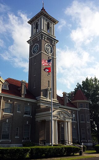
Hamilton is a census-designated place and unincorporated community in Monroe County, Mississippi, United States. As of the 2020 census, it had a population of 404.

Athens is an unincorporated community in Monroe County, Mississippi.
Becker is an unincorporated community in Monroe County, Mississippi.
Bigbee is an unincorporated community in Monroe County, Mississippi. Bigbee is located northwest of Amory on Mississippi Highway 6 (close to its intersection with Mississippi Highway 371.
Splunge,, is an unincorporated community in Monroe County, Mississippi.
Wren,, is an unincorporated community in Monroe County, Mississippi.
Muldon, also known as Aberdeen Junction, Loohattan, Loohatten and Louhatten, is an unincorporated community in Monroe County, Mississippi. Muldon is located southwest of Aberdeen on Mississippi Highway 25.
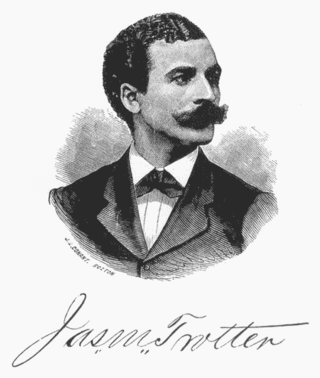
James Monroe Trotter was an American teacher, soldier, employee of the United States Post Office Department, a music historian, and Recorder of Deeds in Washington, D.C. Born into slavery in Mississippi, he, his two sisters and their mother Letitia were freed by their master, the child's father, and helped to move to Cincinnati, Ohio. He grew up in freedom, attending school and becoming a teacher.

The Battle of Fayetteville, also known as the Action at Fayetteville, took place during the American Civil War on April 18, 1863, in Fayetteville, Arkansas.

Middle Grove is an unincorporated community in Monroe County, Missouri, United States.


